 placenames
Billy
Bile
Successive church buildings and a former outlying service reveal different scales of parish life in north Antrim.
The name
These Irish name elements are associated with this record in the Logainm glossary.
An element’s translation is a clue, rather than a complete explanation of the name. Its form and meaning depend on local history and the full Irish name.
Recorded forms
- Bile · Irish · main form · non-validated name
- Billy · English · main form
Place & story
The medieval church survives in records
The historic buildings survey identifies Billy's church in the papal taxation of 1306, valued at fifty-four marks. The Ulster Visitation Book of 1622 described it as in good repair. That older building continued in use into the early nineteenth century, appearing on Taylor and Skinner's 1777 map. Its ruined walls remain in the graveyard south of the later parish church. [2]
A replacement and later additions
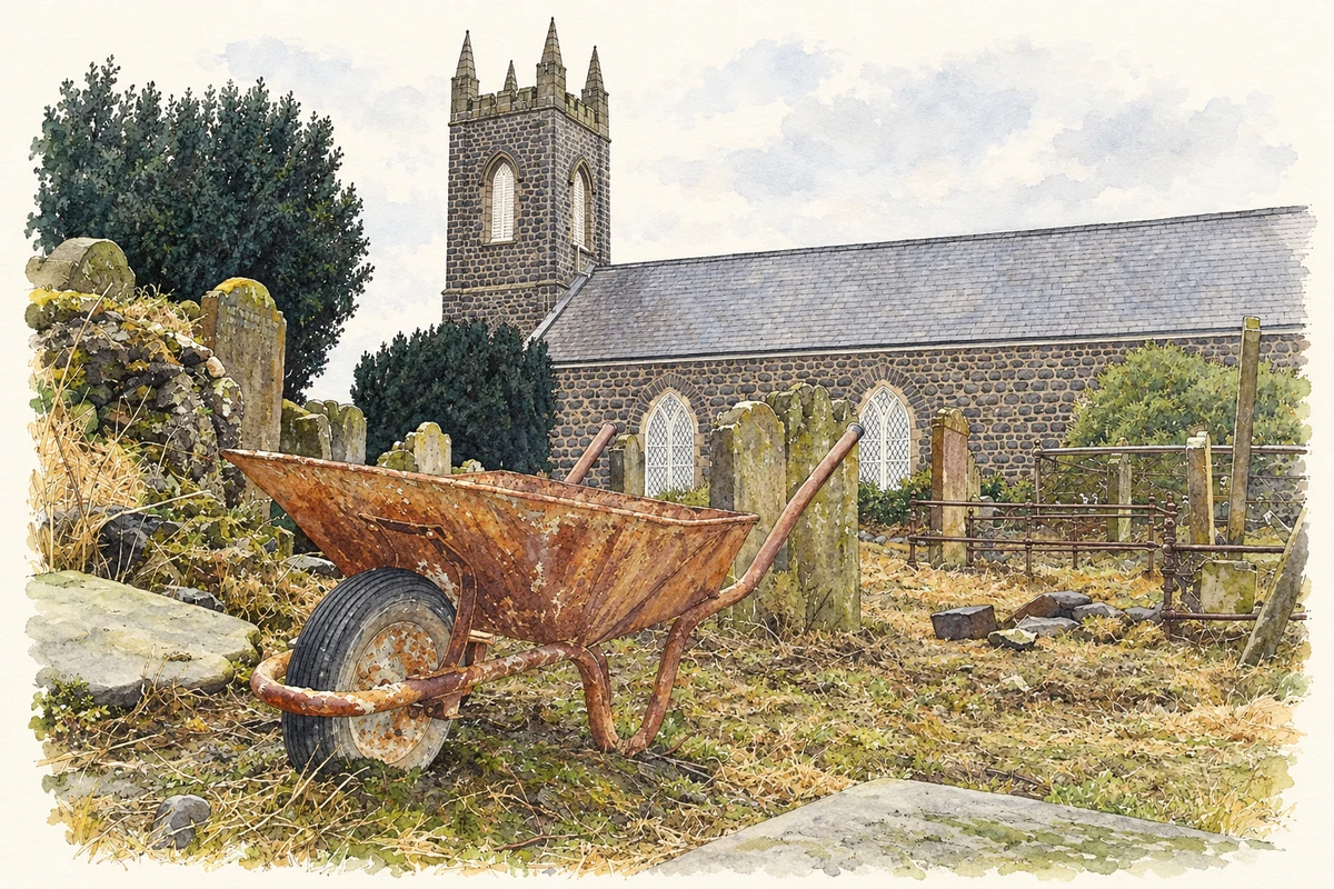
The present church was built in 1815 for £1,300, including £800 from the Board of First Fruits. Its three-storey tower rises above a basalt-rubble nave with pointed windows. The chancel and a new pulpit were added in 1890, followed by an organ in 1893 and a font in 1897. Electric lighting arrived in 1952, another change to the building's fabric and use. [2]
Services at the Causeway schoolhouse
Billy's own parish history recalls a separate evening service for parishioners living near the Giant's Causeway. It took place in the old Causeway schoolhouse, providing worship away from the inland parish church. The account dates its closure to 2000 as the congregation declined, documenting a change in how this geographically dispersed parish used its local buildings. [3]
Geographic information
- Place type
- Civil parish
- County
- Antrim
- Barony
- Cary
- Barony
- Dunluce Lower
- Coordinates
- 55.21200, -6.48226 (approximate)
- Logainm ID
- 61294 ↗
Sources & further reading
- Logainm.ie — Billy. Place names and geographic record, licensed under CC BY 4.0.
- Billy Parish Church, HB05/07/001, survey 21 October 1999 · Department for Communities, Historic Environment Division
- History of the Parish of Billy · Billy and Derrykeighan Parish, Diocese of Connor
- Billy parish church and its churchyard during renovation, County Antrim, as photographed in December 2006 illustration: based on a Billy Parish Church by david speers. AI-assisted watercolour and ink adaptation; cream paper margins added, incidental clutter omitted and fine details simplified. Licence: CC BY-SA 2.0.
Name record retrieved 2026-10-25 · Source record modified 2024-11-05. How this page was prepared.