 placenames
1901 census
90People recorded
19Households recorded
Most frequent surnames in this year’s matched records
- McIlveen 9
- Esler 8
- Devinney 7
- Fisher 7
- Francy 6
Coinnire
The original return separates the village population from the rural part of its namesake townland.
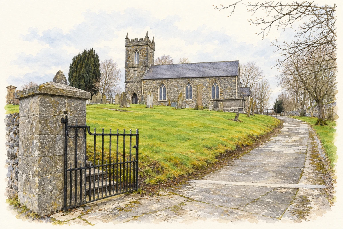
A reliable full-name meaning has not been established here. The recorded Irish and English forms are given without an unsupported translation.
The 1901 census counted 203 inhabitants in Connor town, eighty-nine male and 114 female. Sixty of its sixty-three houses were occupied and three were empty. The town had 234 inhabitants in 1881 and 183 in 1891. A footnote states that the town stood on Connor townland and occupied an estimated thirty-three acres, with its area and valuation included in the townland entry. [2]
The separate rural entry for Connor recorded ninety inhabitants in nineteen occupied houses in 1901. It lists forty males and fifty females, compared with ninety-three residents in 1891 and eighty-one in 1881. The table places Connor in its namesake parish and electoral division, in Lower Antrim barony. Its recorded townland area was 493 acres, two roods and seven perches. The rural count should therefore be distinguished from the town’s separate population. [2]
Census figures refer to the matched historical census area for each year. Boundaries and spellings can change over time.
Most frequent surnames in this year’s matched records
Most frequent surnames in this year’s matched records
This year is outside the available dataset’s coverage. This does not indicate a population of zero.
Name record retrieved 2026-10-25 · Source record modified 2026-09-19. How this page was prepared.