 placenames
Aghafatten
Achadh Pheatan
Aghafatten, also written Aughafatten, has a local history of adapted buildings and reorganised rural education.
The name
These Irish name elements are associated with this record in the Logainm glossary.
An element’s translation is a clue, rather than a complete explanation of the name. Its form and meaning depend on local history and the full Irish name.
Recorded forms
- Achadh Pheatan · Irish · main form · validated name
- Aghafatten · English · main form
- Aughafatten · English · main form · local name
Place & story
A school in the master’s house
The 1833 Ordnance Survey return for Skerry parish records a pay school at Aughafattan, held in teacher Charles O’Kane’s own house. It lists twenty-six pupils, including Presbyterian and Catholic children. The two returns differ over the numbers of boys and girls, a reminder that these early surveys combined information from different local informants rather than a single uniform school census. [2]
A mill converted for worship
The Irish Architectural Archive records an unusual beginning for St Patrick of the Braid: a mill was converted into a Catholic church in 1855, with dedication that autumn. The architect is unidentified. This was an adaptation of an existing industrial building, linking the history of local worship with the working buildings of the Braid district. [3]
Hazelbank’s three predecessors
Hazelbank Primary School opened on 15 April 1985. Its own history names the three smaller schools it replaced: Upper Buckna, Mullindreen and Racavan, the last also known as Hazelbank. The new school brought these separate rural school communities together at Aughafatten. Its opening belongs to a much later stage of local education than the house-based school recorded in the nineteenth-century survey. [4]
Geographic information
- Place type
- Population centre
- County
- Antrim
- Barony
- Antrim Lower
- Civil parish
- Skerry
- Coordinates
- 54.92242, -6.08134 (approximate)
- Logainm ID
- 61425 ↗
Sources & further reading
- Logainm.ie — Aghafatten. Place names and geographic record, licensed under CC BY 4.0.
- Ordnance Survey Memoir for the Parish of Skerry:1833 school return · Lieutenant Robert Boteler, reproduced by Glens of Antrim Historical Society
- Aghafatten, Church of St Patrick of the Braid: work 53539 · Irish Architectural Archive, Dictionary of Irish Architects
- Our School: Hazelbank Primary School · Hazelbank Primary School
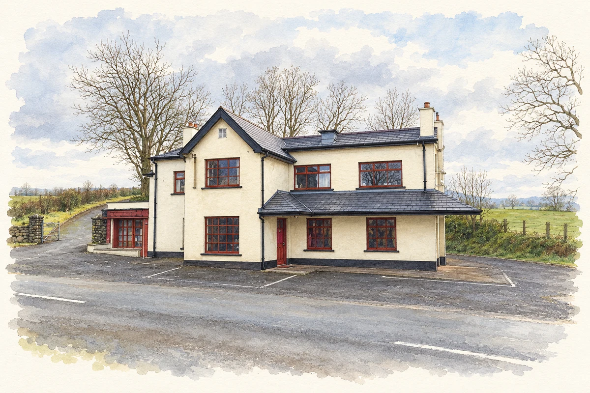
- Half Way House, Aghafatten illustration: based on a The Half way House by Brian Shaw. AI-assisted watercolour and ink adaptation; cream paper margins added, incidental clutter omitted and fine details simplified. Licence: CC BY-SA 2.0.
Name record retrieved 2026-10-25 · Source record modified 2021-05-26. How this page was prepared.