These Irish name elements are associated with this record in the Logainm glossary.
An element’s translation is a clue, rather than a complete explanation of the name. Its form and meaning depend on local history and the full Irish name.
Recorded forms
Carraig Fhearghais· Irish · main form · validated name
Carrickfergus· English · main form
Place & story
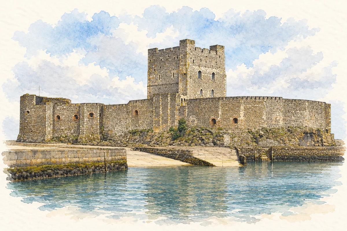
Castle and coastal position
Lewis’s 1837 account describes Carrickfergus as a port, market town, parish and county of itself within the geographical county of Antrim. These overlapping descriptions explain why older records can place the same household within several kinds of boundary. The castle is central to his account, but the town was more than its fortress. Its coastal position connected government and defence with the everyday movement of goods and people.[2]
A harbour with limits
The directory describes a harbour constrained by shallow water and deposits of mud and sand. A fishermen’s pier had been added in 1834, while a much larger improvement scheme remained a proposal. Those details show the practical limits behind a familiar maritime identity. A port could possess a long trading history while struggling to accommodate larger vessels.[3]
Reading the working landscape
Lewis also records cotton spinning, linen yarn, weaving, distilling and leather production. Water power from neighbouring streams and Lough Morne offered further industrial possibilities. This is a useful corrective to a history told entirely through military events.[4]
People & connections
John de Courcy and later armies
John de Courcy began the castle soon after his invasion of Ulster in 1177. The Department for Communities records later sieges by King John in 1210 and Edward Bruce in 1315. Schomberg captured it for William III in 1689, and French forces under Thurot took it in 1760. Its military use continued until 1928, while air-raid shelters occupied it during the Second World War. That long service explains why a medieval fortress contains evidence from many later conflicts. The castle was repeatedly adapted, rather than surviving as a sealed example of one century’s warfare.[5]
Folklore & tradition
Fergus and the fatal landing
The council’s heritage trail records a naming legend about Fergus, associated with the early kingdom of Dál Riata. In that story he sails to seek a healing well, but his vessel founders on the basalt rock later occupied by the castle. His body is said to have come ashore and to have been buried at Monkstown. The trail itself acknowledges difficulty in establishing his life story. This is a traditional explanation associated with the rock, not a securely documented shipwreck or medical journey. The tale’s early-medieval setting is also quite separate from de Courcy’s twelfth-century building.[6]
Both censuses use the same 2015 settlement boundary. These exact counts cover usual residents in the settlement, rather than local government districts or historic counties. Other NISRA tables may use approximate counts.
View population figures
CARRICKFERGUS — Settlement 2015 (N11000153) — census population
Carrickfergus Castle illustration: based on a reference by Adam Bishop. AI-assisted watercolour/ink adaptation; clutter removed, paper margins added and fine details simplified. Licence: CC BY-SA 3.0.
 placenames