 placenames
Bendooragh
Bun Dúraí
Bendooragh’s history spans seventeenth-century fighting, a schoolhouse congregation and the expansion of a small crossroads settlement after the Second World War.
The name
These Irish name elements are associated with this record in the Logainm glossary.
An element’s translation is a clue, rather than a complete explanation of the name. Its form and meaning depend on local history and the full Irish name.
Recorded forms
- Bun Dúraí · Irish · main form · validated name
- Bendooragh · English · main form
Place & story
Fighting in the Route in 1642
Bendooragh was associated with a defeat of Archibald Stewart’s forces during the fighting of 1642. Peter Smith’s edition of a contemporary Irish historical tract discusses the encounter and identifies its setting near the meeting of the Claughrey Water and Ballymoney River. An account reproduced in his commentary describes Irish troops under Alexander MacColla MacDonald attacking on boggy ground, driving cavalry back among their own infantry and capturing their colours. [2]
A congregation in the schoolhouse
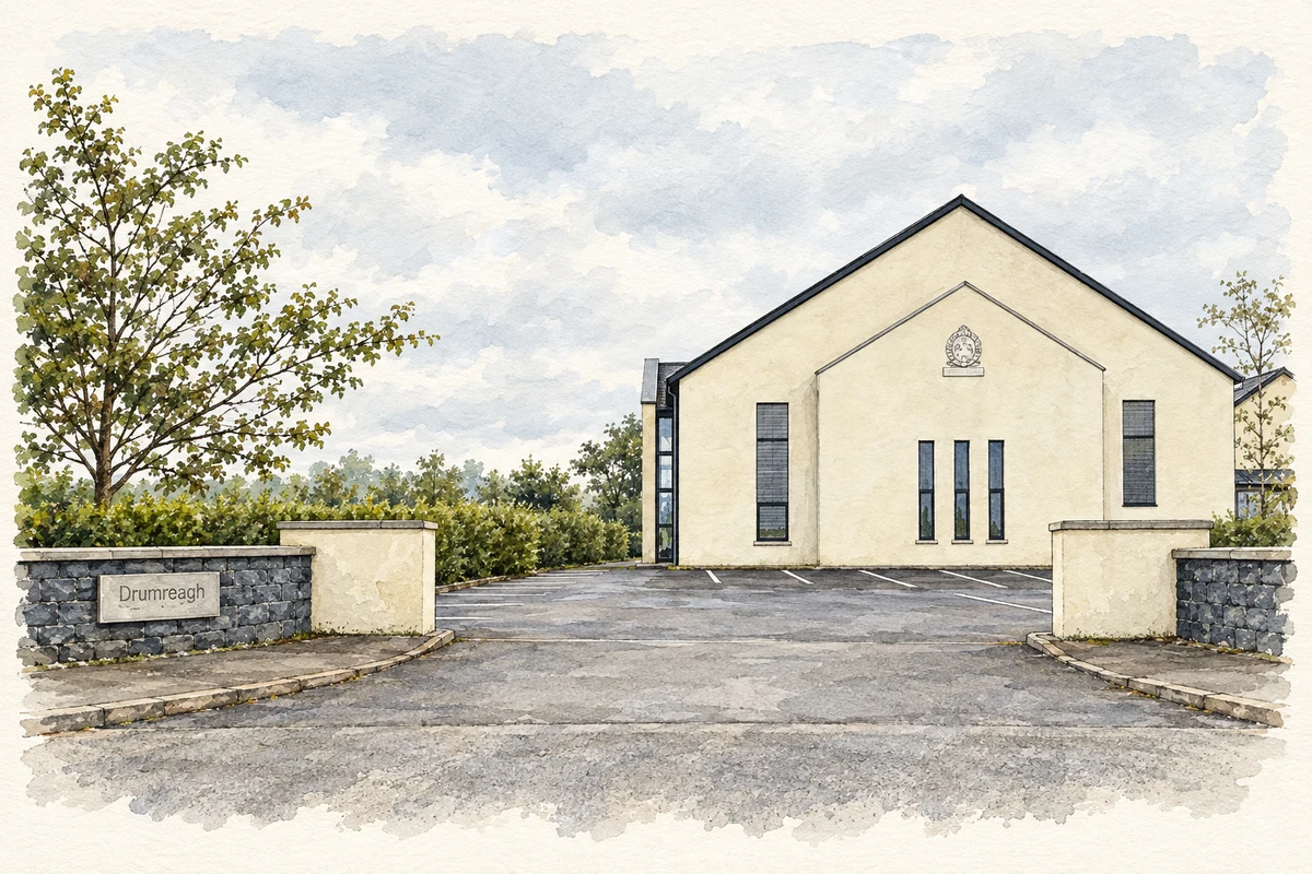
Drumreagh Presbyterian congregation was formally recognised by the Route Presbytery on 29 July 1834. Its first worshippers met in Bendooragh schoolhouse while their meeting house was being built. Thomas Beare became the first minister in 1839. The congregation’s history records growing attendance during the nineteenth-century revival and the addition of a gallery to accommodate worshippers. The schoolhouse’s temporary religious role connects village education with the beginnings of a church that later established its own premises. [3]
Housing around the crossroads
The Northern Area Plan traces Bendooragh to the junction of Bann, Drumahiskey and Bendooragh Roads. Willowdale Park brought public housing in the 1950s; private development followed from the 1990s. The plan zoned 1.05 hectares south of Willowdale Park for open space. [4]
Geographic information
- Place type
- Population centre
- County
- Antrim
- Barony
- Dunluce Upper
- Civil parish
- Ballymoney
- Coordinates
- 55.04585, -6.56053 (approximate)
- Logainm ID
- 62163 ↗
Sources & further reading
- Logainm.ie — Bendooragh. Place names and geographic record, licensed under CC BY 4.0.
- An historical tract in Irish relating to the confederate wars in Ireland, commentary 7v11, Studia Hibernica 43,2017 · Peter Smith, Ulster University
- Our History · Drumreagh Presbyterian Church
- Northern Area Plan 2016, volume 2, Bendooragh, page 41 · Department of the Environment, Planning Service; Northern Ireland Official Publications Archive
- Drumreagh Presbyterian Church, Bendooragh illustration: based on a Drumreagh Presbyterian Church by Russel Wills. AI-assisted watercolour and ink adaptation; cream paper margins added, incidental clutter omitted and fine details simplified. Licence: CC BY-SA 2.0.
Name record retrieved 2026-10-25 · Source record modified 2021-05-26. How this page was prepared.