 placenames
1901 census
No verified place match is available for this year. This does not indicate a population of zero.
The Antrim townland’s census record sits alongside the sporting history of the wider Derrymore community.
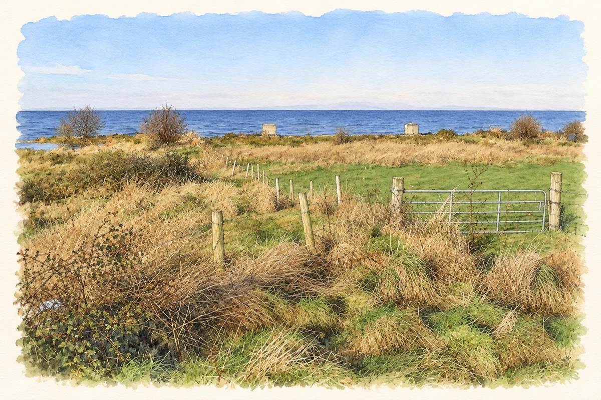
A reliable full-name meaning has not been established here. The recorded Irish and English forms are given without an unsupported translation.
Derrymore had 228 inhabitants in 1901, 111 male and 117 female. Fifty-two of its fifty-three houses were occupied and one was empty. The population had been 271 in 1881 and 226 in 1891. Listed in Aghagallon parish and electoral division, within Upper Massereene barony, the townland belonged to Aghalee dispensary district and Lurgan Poor Law Union. [2]
St Mary’s GAC Aghagallon’s 2023–2025 development plan dates the establishment of John Mitchel’s club in the Derrymore area to the 1920s. It describes several parish clubs competing before St Mary’s was established in 1982 to unite local players. John Mitchel Park at Derrymore was gifted to St Mary’s and vested in the GAA in 2015. The plan records that the former clubrooms had also served a céilí club. [3]
Census figures refer to the matched historical census area for each year. Boundaries and spellings can change over time.
No verified place match is available for this year. This does not indicate a population of zero.
Most frequent surnames in this year’s matched records
This year is outside the available dataset’s coverage. This does not indicate a population of zero.
Name record retrieved 2026-10-25 · Source record modified 2019-06-27. How this page was prepared.