 placenames
Kilnamanagh
Cill na Manach
This Beara parish connects spade cultivation and maritime defence with a clergyman who spoke about the poverty of mining families.
The name
These Irish name elements are associated with this record in the Logainm glossary.
An element’s translation is a clue, rather than a complete explanation of the name. Its form and meaning depend on local history and the full Irish name.
Recorded forms
- Cill na Manach · Irish · main form · validated name
- Kilnamanagh · English · main form
Place & story
Cultivation beside the sea
Lewis’s 1837 account of Kilnamanagh describes a Beara parish with considerably more bog and mountain than arable ground. Farmers chiefly used the spade, manuring their land with seaweed and sand. Slate was quarried at Lickbarren. He also recorded a coastguard station at Garnish Point, a Catholic chapel at Cahermore and five private schools teaching about 380 children. Work, education and coastal services were dispersed through this sparsely cultivated landscape. [2]
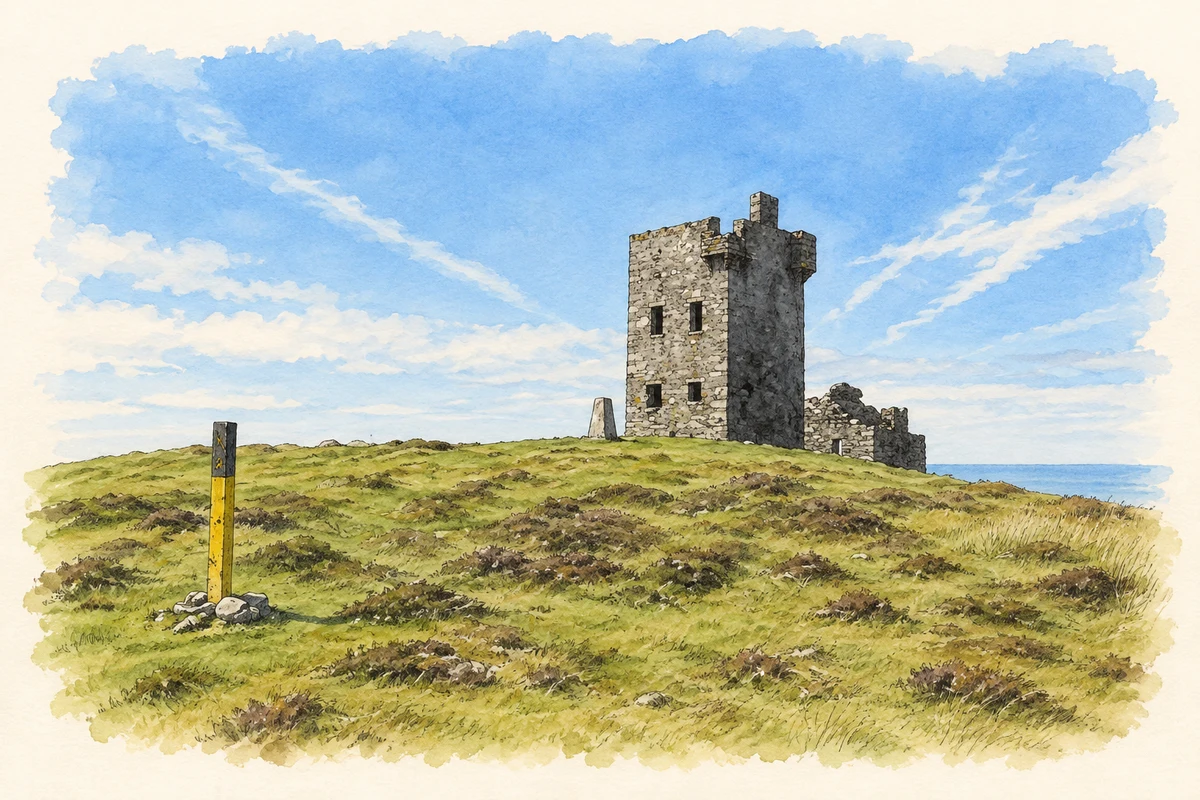
The signal tower on Dursey
Dursey’s signal tower dates from about 1805, part of the coastal system built against the threat of Napoleonic invasion. The three-stage structure has projecting corner turrets and an entrance at first-floor level. Rubble stone, render and hanging slate survive in its walls. These defensive features distinguish the former signal station from an ordinary lookout, recording a military purpose within the island’s coastal landscape. [3]
George Stoney and the mining families
George Frederick Stoney ministered at Allihies’ chapel-of-ease, also known as Kilnamanagh church. In March 1868 he wrote publicly about the poverty of local mining families, criticising their treatment during a period of falling employment. Research by Miriam Moffitt, presented by the Church of Ireland Historical Society, connects this dispute with his dismissal from the Berehaven curacy that month. His association with Kilnamanagh was a working ministry among mining households. [4]
Geographic information
Sources & further reading
- Logainm.ie — Kilnamanagh. Place names and geographic record, licensed under CC BY 4.0.
- Kilnamannagh, A Topographical Dictionary of Ireland 1837 · Samuel Lewis
- Dursey Watch Tower, registration 20912601 · National Inventory of Architectural Heritage
- Divided Loyalties in a West Cork Parish: the Revd George F Stoney of Berehaven, 5 April 2018 · Church of Ireland Historical Society, reporting research by Miriam Moffitt
- The roofless signal tower on Dursey Island, County Cork, as photographed in September 2006 illustration: based on a Oileán Baoi (Dursey Island): Signal tower by Nigel Cox. AI-assisted watercolour and ink adaptation; cream paper margins added, incidental clutter omitted and fine details simplified. Licence: CC BY-SA 2.0.
Name record retrieved 2026-10-25 · Source record modified 2025-01-10. How this page was prepared.