Townland

White Mountain

A geological survey records mineral-bearing stone at White Mountain Quarry near Lisburn.
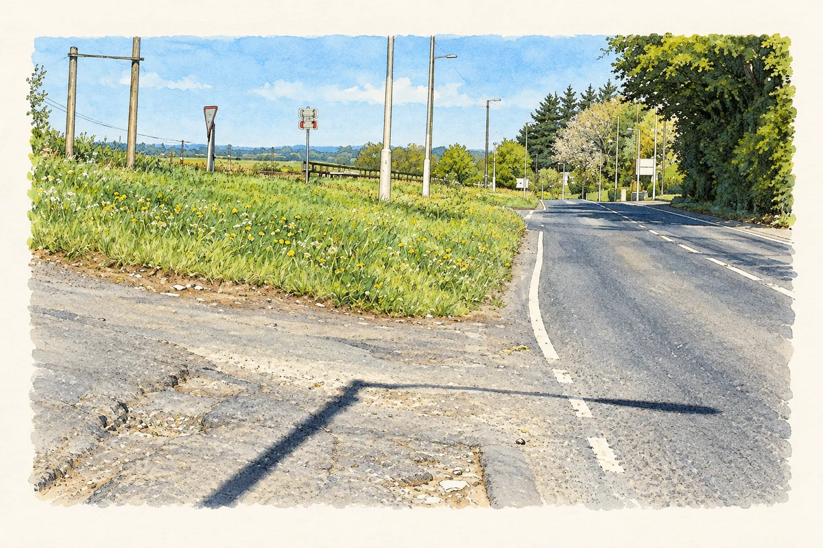
Watercolour and fine ink of the road junction at White Mountain, with a grassy wildflower bank, poles and spring trees.
The Stoneyford Road at White Mountain, Lisburn, as photographed in May 2017.
Recorded locationWhite Mountain54.54806° N · 6.09108° WInteractive map supplied by OpenStreetMap.
Recorded place location · Logainm.ie

The name

A reliable full-name meaning has not been established here. The recorded Irish and English forms are given without an unsupported translation.

Recorded forms

  • White Mountain · English · main form

Place & story

A neighbouring geological exposure

White Mountain Quarry lies close to the southern edge of this townland; the survey’s approximate location plots outside its boundary. In May 1997, geologists recorded basalt worked for roadstone above white limestone. Rubbly basalt contained zeolite minerals, with saponite and calcite also identified. Column-like fractures were visible at the quarry’s northern end. These are historical observations of the nearby quarry, rather than a description of the whole townland or its present condition. [2]

Geographic information

Place type
Townland
County
Antrim
Civil parish
Derryaghy
Coordinates
54.54806, -6.09108
Mapped area
1.9 km²
Logainm ID
62860 ↗

People & family history

Census figures refer to the matched historical census area for each year. Boundaries and spellings can change over time.

1901 census

No verified place match is available for this year. This does not indicate a population of zero.

1911 census

108People recorded
21Households recorded

Most frequent surnames in this year’s matched records

  • McCourt 20
  • Willis 12
  • Armstrong 11
  • Morrow 9
  • Watson 9
Explore the 1911 records ↗

1926 census

This year is outside the available dataset’s coverage. This does not indicate a population of zero.

Sources & further reading

  1. Logainm.ie — White Mountain. Place names and geographic record, licensed under CC BY 4.0.
  2. White Mountain Quarry, Earth Science Conservation Review site550, May1997 account · R. Nawaz and N.R. Moles, Earth Science Conservation Review, National Museums Northern Ireland
  3. Boundary geometry retains its source attribution and licence in the downloadable geographic record. Map tiles © OpenStreetMap contributors.
  4. Stoneyford Road at White Mountain, Lisburn, County Antrim illustration: based on a The Stoneyford Road, White Mountain, Lisburn (May 2017) by Albert Bridge. AI-assisted watercolour and ink adaptation; cream paper margins added, incidental clutter omitted and fine details simplified. Licence: CC BY-SA 2.0.

Name record retrieved 2026-10-25 · Source record modified 2019-06-27. How this page was prepared.