 placenames
1901 census
140People recorded
37Households recorded
Most frequent surnames in this year’s matched records
- Allen 12
- Torbitt 12
- Miller 10
- Peter's 9
- Scullion 8
An Baile Beag
The original county report recorded fewer residents and houses in this Lower Toome townland by 1901.
These Irish name elements are associated with this record in the Logainm glossary.
An element’s translation is a clue, rather than a complete explanation of the name. Its form and meaning depend on local history and the full Irish name.
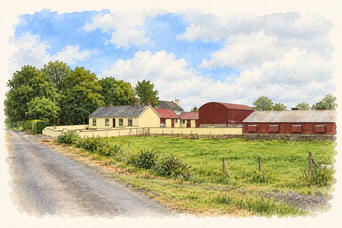
Ballybeg’s recorded population fell from 288 in 1881 to 239 in 1891 and 140 in 1901. The 1901 census returned sixty-five male and seventy-five female residents, with thirty-seven inhabited houses and one empty house. Its comparative columns show fifty houses in both earlier years. A footnote attributed the population decrease to emigration and removals. That is the contemporary report’s explanation; it does not identify where particular families went. The table places Ballybeg in Ahoghill parish and Lower Toome barony, keeping this community distinct from its namesakes. [2]
Census figures refer to the matched historical census area for each year. Boundaries and spellings can change over time.
Most frequent surnames in this year’s matched records
Most frequent surnames in this year’s matched records
This year is outside the available dataset’s coverage. This does not indicate a population of zero.
Name record retrieved 2026-10-25 · Source record modified 2019-06-27. How this page was prepared.