 placenames
Randalstown
Baile Raghnaill
Randalstown’s river, former railway and community conservation projects preserve the history of an Antrim manufacturing town.
The name
These Irish name elements are associated with this record in the Logainm glossary.
An element’s translation is a clue, rather than a complete explanation of the name. Its form and meaning depend on local history and the full Irish name.
Recorded forms
- Baile Raghnaill · Irish · main form · validated name
- Randalstown · English · main form
Place & story
A manufacturing and market town
Samuel Lewis's account of 1837 records Randalstown's earlier names, Mainwater and Iron-Works, and links the latter with former furnaces and forges. By his time, cotton spinning, calico weaving and bleaching were important local trades. He described weekly produce markets and monthly linen trading, placing manufacturing alongside the exchange of wheat, meal, pork and livestock. His description captures a town whose river supported industry as well as movement. [2]
The railway above the river
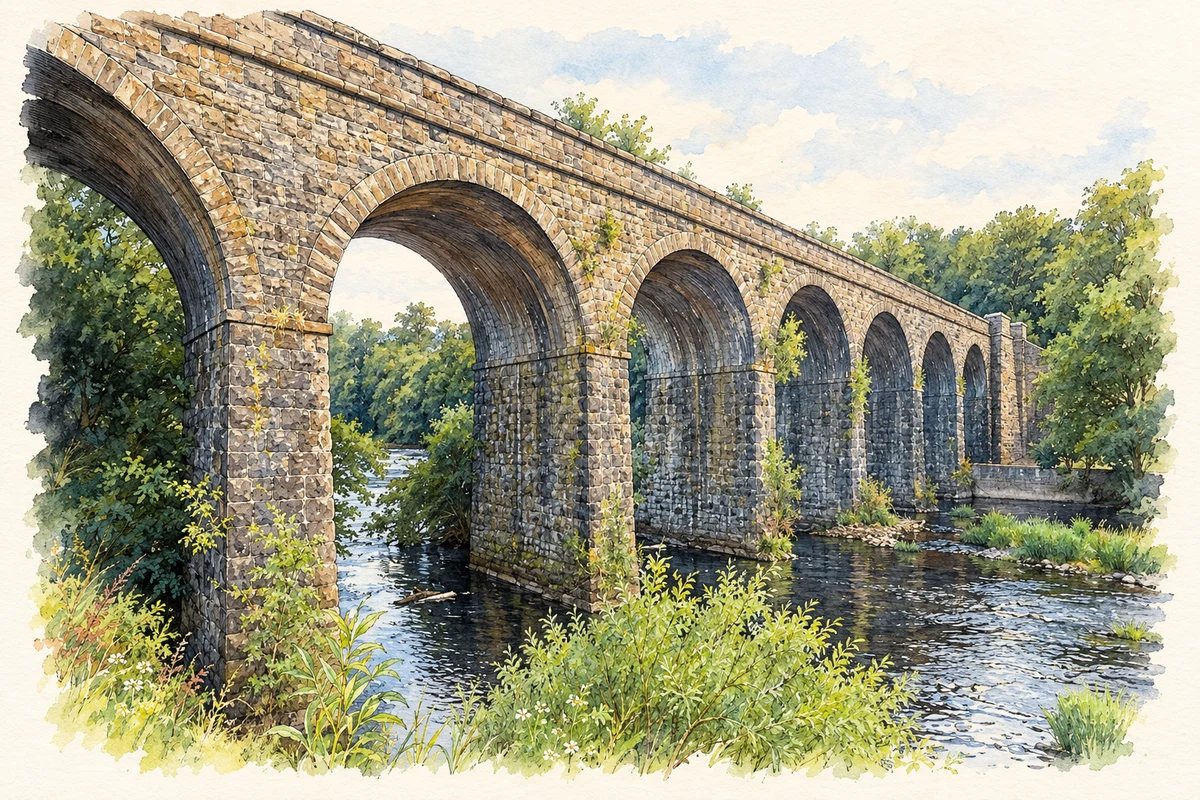
Charles Lanyon designed the eight-arched viaduct built in 1855 for the railway's extension towards Cookstown; William Dargan was the contractor. Six arches cross the River Main, while the outer arches span a mill race and road. Trains used the line from 1856 until 1959. The later restoration of a missing girder span and conversion to a walking and cycling route preserved the viaduct as a public landmark. [3]
Industry remembered in the streets
Community work has kept Randalstown's industrial past visible. ARCHES Association's Moore's Lane improvement scheme included an original turbine from the Old Bleach site, displayed with a photograph of factory workers. The project opened in May 1998. The association also helped secure the town's conservation-area designation in 1996 and restored access along the former railway, connecting preservation with practical improvements to streets and paths. [4]
Geographic information
- Place type
- Town
- County
- Antrim
- Barony
- Toome Upper
- Civil parish
- Drummaul
- Coordinates
- 54.74629, -6.32267 (approximate)
- Logainm ID
- 63093 ↗
Sources & further reading
- Logainm.ie — Randalstown. Place names and geographic record, licensed under CC BY 4.0.
- Randalstown, A Topographical Dictionary of Ireland (1837) · Samuel Lewis
- Railway Viaduct, HB 20/04/024 · Department for Communities, Historic Environment Division
- Projects · Randalstown ARCHES Association
- Randalstown Viaduct over the River Maine illustration: based on a Randalstown Viaduct by Anne Burgess. AI-assisted watercolour and ink adaptation; cream paper margins added, incidental clutter omitted and fine details simplified. Licence: CC BY-SA 2.0.
Name record retrieved 2026-10-25 · Source record modified 2021-05-26. How this page was prepared.