 placenames
Pomeroy
The parish’s history links an eighteenth-century landowner’s planting with later forestry training and community use.
The name
A reliable full-name meaning has not been established here. The recorded Irish and English forms are given without an unsupported translation.
Recorded forms
- Pomeroy · English · main form
Place & story
Lowry’s demesne
Lewis dates the creation of Pomeroy parish to 1775, when 41 townlands were separated from Donaghmore at Primate Robinson’s request. He credits the Reverend James Lowry with taking over management of the estate in 1770, planting much of the demesne and leaving money for a mansion. His account also describes a small estate lake whose shoreline resembled the coast of Ireland. This is a nineteenth-century description of the designed landscape. [2]
Training and a later community centre
The Forest Service’s report for the year ending March 2006 records technical training at Pomeroy, including instruction in digital radios and seminars on forestry and water. It states that declining demand led to the transfer of training to CAFRE and the end of training at Pomeroy that year. A later council project provided a new forest building, officially opened in 2024. The council identifies its site as that of the former forestry school, now serving community and visitor activities. [3] [4] [5]
Geographic information
- Place type
- Civil parish
- County
- Tyrone
- Barony
- Dungannon Middle
- Coordinates
- 54.55523, -6.89864 (approximate)
- Mapped area
- 64.83 km²
- Logainm ID
- 63165 ↗
Sources & further reading
- Logainm.ie — Pomeroy. Place names and geographic record, licensed under CC BY 4.0.
- Pomeroy, A Topographical Dictionary of Ireland1837 · Samuel Lewis
- Forest Service Annual Report and Accounts2005/2006, printed pages7and20 · Northern Ireland Forest Service
- Connecting Pomeroy project completion, May2024 · Mid Ulster District Council
- Pomeroy Forest Park: Forest Centre · Mid Ulster District Council
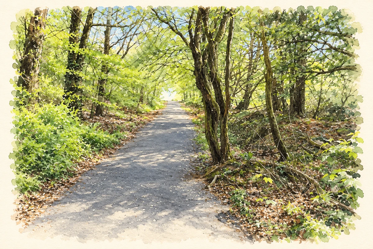
- A path through Pomeroy Forest, County Tyrone, as photographed in April 2025 illustration: based on a Path through Pomeroy Forest by Kenneth Allen. AI-assisted watercolour and ink adaptation; cream paper margins added, incidental clutter omitted and fine details simplified. Licence: CC BY-SA 2.0.
Name record retrieved 2026-10-25 · Source record modified 2012-08-20. How this page was prepared.