 placenames
Urney
An Urnaí
The Tyrone parish belongs to a wider historical Urney landscape shaped by the Finn, the Mourne and institutions serving farming communities.
The name
A reliable full-name meaning has not been established here. The recorded Irish and English forms are given without an unsupported translation.
Recorded forms
- An Urnaí · Irish · main form
- Urney · English · main form
Place & story
Manufacture beside navigable water
Lewis’s 1837 account describes an Urney parish extending into both Tyrone and Donegal. Farming households also made linen cloth, while a spinning mill was being built beside the Mourne. The Finn provided a route for agricultural and manufactured goods towards Castlefinn. His account connects rural production with navigable water, within a parish lying between the rivers that unite to form the Foyle. [2]
An embankment beside the glebe
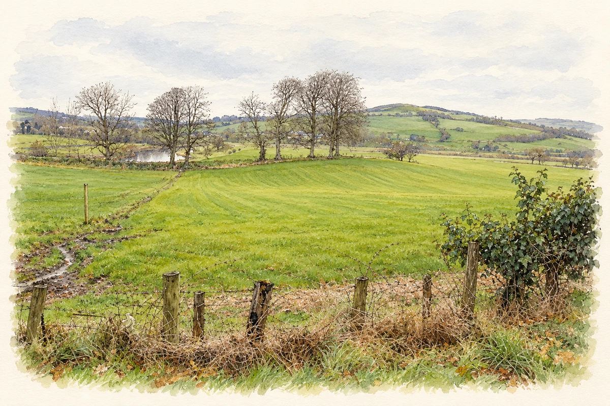
The same description records a glebe-house rebuilt in 1798 at Dr Fowler’s expense after its predecessor burned accidentally. Its land beside the Finn was protected against flooding by an embankment nearly a mile long and twelve feet high. This historical description of the wider parish records substantial work to protect riverside property, alongside the river’s value for carrying goods. [2]
Andrew Sproule’s clothing bequest
In 1801, Andrew Sproule left a thousand pounds in trust to Urney’s rector and churchwardens for the parish’s poor. Lewis records the interest being distributed as winter clothing. The bequest specified both an enduring fund and a practical form of assistance. Its administration through parish officers offers a precise example of local relief before the introduction of the Irish Poor Law system. [2]
Geographic information
- Place type
- Civil parish
- County
- Tyrone
- Barony
- Omagh West
- Barony
- Strabane Lower
- Coordinates
- 54.79752, -7.57232 (approximate)
- Logainm ID
- 63188 ↗
Sources & further reading
- Logainm.ie — Urney. Place names and geographic record, licensed under CC BY 4.0.
- Urney, A Topographical Dictionary of Ireland 1837 · Samuel Lewis
- Urney Glebe looking northwest toward the River Finn and County Donegal, as photographed in February 2015 illustration: based on a Urney Glebe by Kenneth Allen. AI-assisted watercolour and ink adaptation; cream paper margins added, incidental clutter omitted and fine details simplified. Licence: CC BY-SA 2.0.
Name record retrieved 2026-10-25 · Source record modified 2008-09-30. How this page was prepared.