These Irish name elements are associated with this record in the Logainm glossary.
An element’s translation is a clue, rather than a complete explanation of the name. Its form and meaning depend on local history and the full Irish name.
Recorded forms
Achadh na Cloiche· Irish · main form · validated name
Aughnacloy· English · main form
Place & story
People & connections
Acheson Moore's town
Acheson Moore built Aughnacloy and its parish church, according to Lewis. The community heritage trail dates his return from a European Grand Tour to 1722 and connects it with his plans for the town. Moore Street focuses on the church, while other streets recall his wives.[2][3]
A market on the border
In 1837, the town stood on the Dublin–Derry mail-coach road near the County Monaghan boundary. Lewis describes a long principal street with three smaller branches and 365 houses, most still thatched. Wednesday markets and monthly livestock fairs drew people from the surrounding countryside. His account also identifies Thomas Campbell, author of Strictures on the History of Ireland, as a native of Aughnacloy. The writer's connection adds an intellectual figure to a description otherwise dominated by trade, roads and churches.[2]
From grain to flax
The local corn mill later also worked timber. Robert McCreedy bought it in 1919, converted it to flax scutching and introduced motor power. Production rose during the Second World War, but the mill closed in 1952. Renovation in 1998 gave the building a community role.[3]
Headquarters of a roadside railway
Aughnacloy housed the headquarters of the Clogher Valley Railway, opened in 1887. The three-foot-gauge line linked Tynan and Maguiresbridge through numerous roadside halts, carrying people and goods until its last journey in 1941. Its headquarters made the town a working centre for transport across the valley.[3]
Both censuses use the same 2015 settlement boundary. These exact counts cover usual residents in the settlement, rather than local government districts or historic counties. Other NISRA tables may use approximate counts.
View population figures
AUGHNACLOY — Settlement 2015 (N11000299) — census population
These are the town figures printed in the historical census reports, separate from the surrounding rural district and modern settlement. Some historical towns had no fixed boundary; a consistent footprint across years is not assumed.
View population figures
Aughnacloy — historical census town — census population
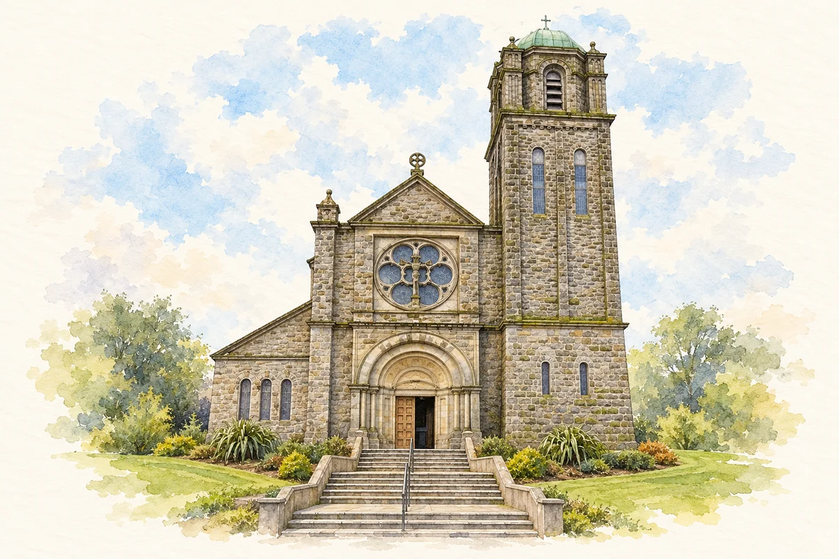
Saint Mary's Catholic Church illustration: based on a reference photograph by Kenneth Allen. AI watercolour/ink adaptation; clutter removed, margins added and fine details simplified. Licence: CC BY-SA 2.0.
 placenames