These Irish name elements are associated with this record in the Logainm glossary.
An element’s translation is a clue, rather than a complete explanation of the name. Its form and meaning depend on local history and the full Irish name.
Recorded forms
Oileán an Ghuail· Irish · main form · validated name
Coal Island· English · main form
Coalisland· English · main form · local name
Place & story
A coalfield and a transport problem
Commercial coal mining around Derry in Tullyniskan is recorded in the Civil Survey of 1654. Shallow coal and fireclay deposits later supported extraction around Coalisland and neighbouring industrial districts. Moving that material to buyers was a central challenge. Work began in 1732 on a navigation intended to link the coalfield with Lough Neagh, the Newry Canal and ultimately the sea route to Dublin.[2][4]
People & connections
Ducart’s dry hurries
Engineer Davis Ducart proposed inclined planes to overcome the rise between Coalisland and the Drumglass pits. Called dry hurries, these slopes were intended to move loaded tubs between canal levels. The scheme also included an aqueduct over the Torrent at Newmills. The inclined planes encountered mechanical problems, while the canal suffered shortages of water. Completed in the 1770s, this upper system failed to become the effective coal route its promoters expected.[3]
The lower navigation and later mills
The canal from Coalisland to the Blackwater opened in 1787, more than half a century after work began on the navigation. Later industry included the Stevenson spinning mills at Roan, Brackaville, recorded in a trade directory of 1842 and bought by the Wilson family in 1857. Coal, textiles and transport belonged to the same regional industrial landscape. The history of the navigation preserves both the ambition of its engineering and the long delays involved in bringing a working route into use.[2]
Both censuses use the same 2015 settlement boundary. These exact counts cover usual residents in the settlement, rather than local government districts or historic counties. Other NISRA tables may use approximate counts.
View population figures
COALISLAND — Settlement 2015 (N11000311) — census population
The census used a grid rectangle around the built-up area, rather than today’s settlement boundary. The 1981 figures are as enumerated, without adjustment for non-enumeration. These counts remain separate from later settlement totals.
View population figures
Coal Island — census rectangle H830650 to H850670 — census population
The published 2001 KS01 settlement count uses an earlier geography and disclosure-control methods. It is not rebased to the 2015 settlement used for 2011 and 2021. The geographic matching file can contain a different 2001 count; the figure shown here comes from KS01.
View population figures
Coalisland — KS01 Settlement (2005 geography) — census population
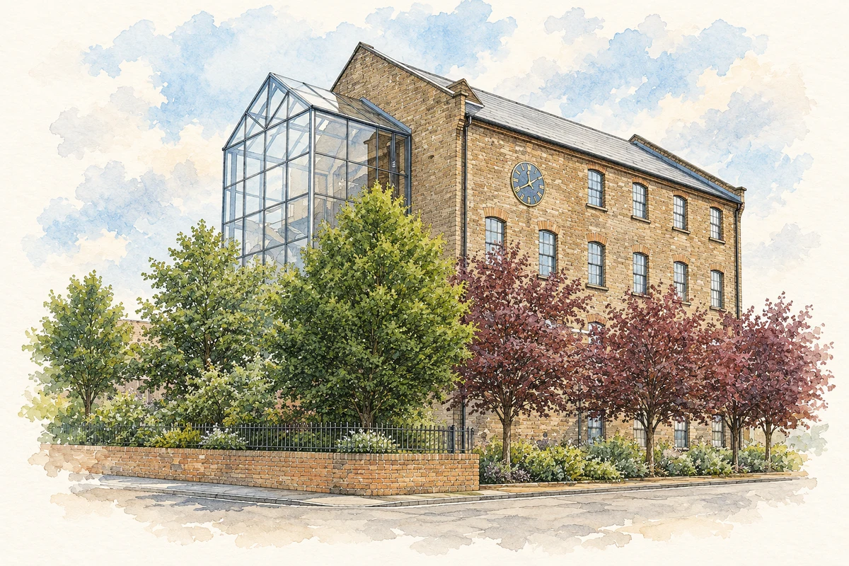
Restored Cornmill, Coalisland, County Tyrone illustration: based on a Cornmill, Coalisland by Kenneth Allen. AI-assisted watercolour and ink adaptation; cream paper margins added, incidental clutter omitted and fine details simplified. Licence: CC BY-SA 2.0.
 placenames