 placenames
Pomeroy
Pomeroy is a townland in Tyrone. Explore its recorded names and geographic context.
Recorded locationPomeroy54.59738° N · 6.90528° WInteractive map supplied by OpenStreetMap.
Recorded place location · Logainm.ie
The name
A reliable full-name meaning has not been established here. The recorded Irish and English forms are given without an unsupported translation.
Recorded forms
- Pomeroy · English · main form
Geographic information
- Place type
- Townland
- County
- Tyrone
- Barony
- Dungannon Upper
- Civil parish
- Desertcreat
- Coordinates
- 54.59738, -6.90528
- Mapped area
- 1.69 km²
- Logainm ID
- 64296 ↗
Sources & further reading
- Logainm.ie — Pomeroy. Place names and geographic record, licensed under CC BY 4.0.
- Boundary geometry retains its source attribution and licence in the downloadable geographic record. Map tiles © OpenStreetMap contributors.
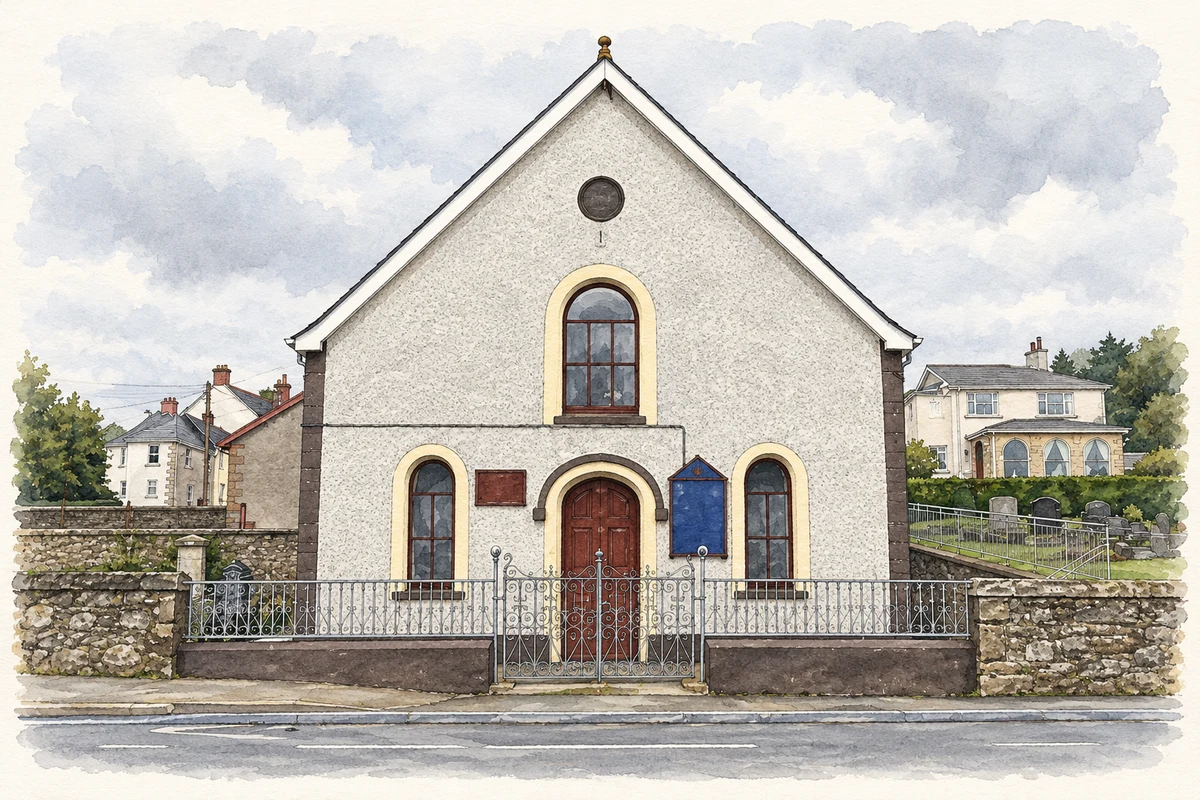
- Pomeroy Presbyterian Church, County Tyrone illustration: based on a Pomeroy Presbyterian Church by Kenneth Allen. AI-assisted watercolour and ink adaptation; cream paper margins added, incidental clutter omitted and fine details simplified. Licence: CC BY-SA 2.0.
Name record retrieved 2026-10-25 · Source record modified 2019-06-27. How this page was prepared.