 placenames
1901 census
268People recorded
65Households recorded
Most frequent surnames in this year’s matched records
- Conway 33
- ONeill 27
- Quinn 17
- McUllagh 15
- Slane 13
Bruach Dearg
The 1911 census records a community spread across more than four thousand acres in Lissan parish.
These Irish name elements are associated with this record in the Logainm glossary.
An element’s translation is a clue, rather than a complete explanation of the name. Its form and meaning depend on local history and the full Irish name.
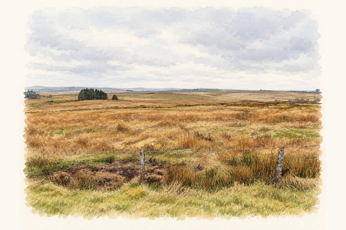
The original 1911 census places Broughderg in Beaghmore electoral division, within Lissan parish and Dungannon Upper barony. Its area was recorded as 4,244 acres, three roods and thirty-four perches. The townland contained 247 people, 130 male and 117 female, and all fifty-five houses were inhabited. [2]
The same table gives 331 residents and seventy-four houses in 1891, followed by 268 residents and seventy houses in 1901. The figures show a reduction in both population and recorded houses over those twenty years. They concern Broughderg townland itself; the larger totals for Beaghmore electoral division also include neighbouring townlands in Lissan and Kildress parishes. The table supplies no particular cause for Broughderg’s change. [2]
Census figures refer to the matched historical census area for each year. Boundaries and spellings can change over time.
Most frequent surnames in this year’s matched records
Most frequent surnames in this year’s matched records
Explore the 1911 records ↗This year is outside the available dataset’s coverage. This does not indicate a population of zero.
Name record retrieved 2026-10-25 · Source record modified 2019-06-27. How this page was prepared.