 placenames
1901 census
299People recorded
71Households recorded
Most frequent surnames in this year’s matched records
- Fox 53
- McKernan 21
- Conway 19
- Haughy 18
- Haughey 17
An Creagán
The census places Creggan in Termonmaguirk parish; the forest bearing its name extends across several blocks.
These Irish name elements are associated with this record in the Logainm glossary.
An element’s translation is a clue, rather than a complete explanation of the name. Its form and meaning depend on local history and the full Irish name.
Creggan had 270 inhabitants in 1911, evenly divided between 135 males and 135 females. Seventy of its seventy-four houses were occupied and four were empty. Its population had been 333 in 1891 and 299 in 1901. The original table places it in Termonmaguirk parish, Omagh East barony and Creggan electoral division, within Omagh Union, and records an area of 4,016 acres and twenty-two perches. [2]
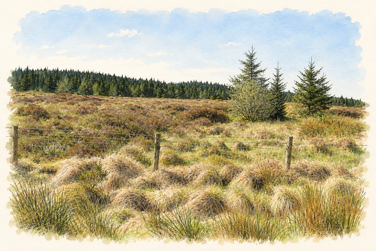
The Northern Ireland government describes Creggan Forest as 660 hectares spread among Creggan Wood, Killygillian North, Killygillian South and Formil. This is a wider forest grouping around Creggan, rather than the area of the townland alone. Its main block adjoins An Creagán Centre, the focal point of a circular marked walking route. The upland woods are managed mainly for timber production. [3]
Census figures refer to the matched historical census area for each year. Boundaries and spellings can change over time.
Most frequent surnames in this year’s matched records
Most frequent surnames in this year’s matched records
This year is outside the available dataset’s coverage. This does not indicate a population of zero.
Name record retrieved 2026-10-25 · Source record modified 2019-06-27. How this page was prepared.