 placenames
Dundonald
Dún Dónaill
An archaeological evaluation revealed a burial sequence inside the old church, adding evidence below its surviving walls.
The name
These Irish name elements are associated with this record in the Logainm glossary.
An element’s translation is a clue, rather than a complete explanation of the name. Its form and meaning depend on local history and the full Irish name.
Recorded forms
- Dún Dónaill · Irish · main form
- Dundonald · English · main form
Place & story
A trench within the church
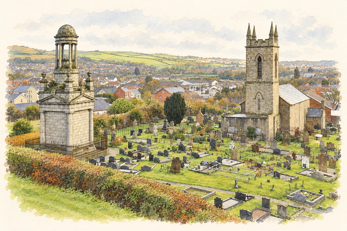
In 2007 Ruth Logue and Sarah Gormley evaluated the former Saint Elizabeth’s Church in Church Quarter. A trench measuring 7.2 by 3.5 metres exposed disturbed human remains in upper levelling deposits. Beneath them were forty-five articulated burials, many cut by later graves. The investigators considered the displaced bones likely to include burials disturbed during church construction as well as material brought from elsewhere in the graveyard. That distinction separates surviving graves from redeposited remains. [2]
Objects and a qualified date
Two juvenile burials contained coins; one coin lay in the left palm, while the second was discovered after removal of the skull. Clay-pipe fragments occurred in two grave fills, and shroud pins and coffin nails were also recovered. The excavators interpreted the exposed burial phase as probably post-medieval, after the introduction of clay pipes around 1600. The finds alone do not establish why the coins were included or document a named local belief. [2]
Geographic information
- Place type
- Civil parish
- County
- Down
- Barony
- Castlereagh Lower
- Coordinates
- 54.58578, -5.83417 (approximate)
- Mapped area
- 18.8 km²
- Logainm ID
- 65697 ↗
Sources & further reading
- Logainm.ie — Dundonald. Place names and geographic record, licensed under CC BY 4.0.
- 2007:400 Dundonald, Church Quarter; licenceAE/07/119 · Ruth Logue and Sarah Gormley, Centre for Archaeological Fieldwork, Queen’s University Belfast; Excavations.ie
- The former Saint Elizabeth's Church and Cleland Mausoleum at Dundonald, County Down, as photographed in November 2011 illustration: based on a Mausoleum and church, Dundonald by Albert Bridge. AI-assisted watercolour and ink adaptation; cream paper margins added, incidental clutter omitted and fine details simplified. Licence: CC BY-SA 2.0.
Name record retrieved 2026-10-25 · Source record modified 2019-10-08. How this page was prepared.