 placenames
1901 census
17People recorded
3Households recorded
Most frequent surnames in this year’s matched records
- McCausland 6
- Breen 3
- Daley 2
- Donaldson 2
- Gibson 2
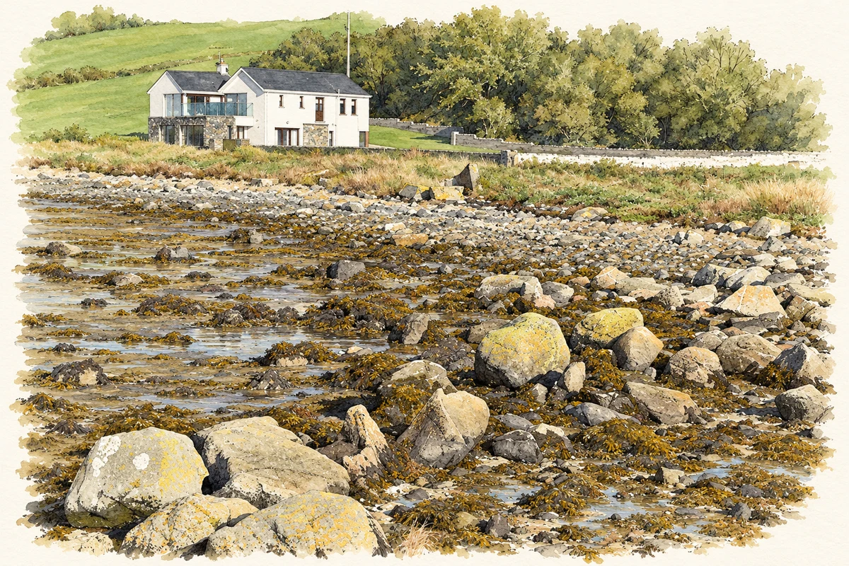
Nearby Ballyhenry Island connects this Ardquin coast with Strangford Lough’s marine habitats.
A reliable full-name meaning has not been established here. The recorded Irish and English forms are given without an unsupported translation.
The Strangford and Lecale partnership describes Ballyhenry Island as a small National Trust property on the lough’s eastern shore, north of Portaferry. Roughly two hundred metres across, it has a boulder shore and becomes cut off at high tide. The island is a nearby coastal feature; it should not be confused with Ballyhenry townland on the mainland. [2]
The Marine Biodiversity Data Portal NI records a survey at Ballyhenry Island on 16 May 2020. Its list includes sponges, barnacles, molluscs and several seaweeds, among them Fucus serratus and Ascophyllum nodosum. This is evidence from a particular survey and location, rather than a complete inventory of the townland’s wildlife or a guarantee of what is present today. [3]
Census figures refer to the matched historical census area for each year. Boundaries and spellings can change over time.
Most frequent surnames in this year’s matched records
No verified place match is available for this year. This does not indicate a population of zero.
This year is outside the available dataset’s coverage. This does not indicate a population of zero.
Name record retrieved 2026-10-25 · Source record modified 2025-04-07. How this page was prepared.