Townland

Drumbeg

An Droim Beag

Hearth’s project account records the rescue of an eighteenth-century navigation building in Old Forge.
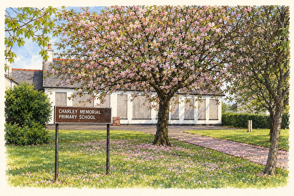
Watercolour and fine ink of the partly screened former Charley Memorial school behind flowering trees, lawn and its nameboard.
The former Charley Memorial Primary School at Drumbeg, as photographed in April 2011.
Recorded locationDrumbeg54.53169° N · 5.98673° WInteractive map supplied by OpenStreetMap.
Recorded place location · Logainm.ie

The name

These Irish name elements are associated with this record in the Logainm glossary.

An element’s translation is a clue, rather than a complete explanation of the name. Its form and meaning depend on local history and the full Irish name.

Recorded forms

  • An Droim Beag · Irish · main form · non-validated name
  • Drumbeg · English · main form

Place & story

A survey preserved before the fire

The nearby Drumbeg Lockhouse is recorded in Old Forge townland. Hearth Historic Buildings Trust dates its restoration to 1982–83. Shortly before work began, a fire destroyed the roof and interior and damaged a gable, but an earlier survey supplied details for rebuilding. The project removed a later brick extension, reinstated damaged elevations and used salvaged slates and stone ridge tiles. Hearth identifies the original canal cottage as a Thomas Omer design dating from around 1760. [2] [3]

Geographic information

Place type
Townland
County
Down
Civil parish
Drumbeg
Coordinates
54.53169, -5.98673
Mapped area
1.55 km²
Logainm ID
66129 ↗

People & family history

Census figures refer to the matched historical census area for each year. Boundaries and spellings can change over time.

1901 census

240People recorded
48Households recorded

Most frequent surnames in this year’s matched records

  • Cowan 19
  • Dugan 13
  • Greenlees 11
  • Cooper 10
  • Shanks 10
Explore the 1901 records ↗

1911 census

199People recorded
50Households recorded

Most frequent surnames in this year’s matched records

  • Cowan 11
  • Bassett 9
  • Drennan 9
  • Graham 8
  • Greenlees 8
Explore the 1911 records ↗

1926 census

This year is outside the available dataset’s coverage. This does not indicate a population of zero.

Sources & further reading

  1. Logainm.ie — Drumbeg. Place names and geographic record, licensed under CC BY 4.0.
  2. Drumbeg Lockhouse: restoration project, 1982–83 · Hearth Historic Buildings Trust
  3. Drumbeg lock-keeper’s house, HARNI 26/16/003, HB26/16/006 · Historic Environment Division, Department for Communities
  4. The former Charley Memorial Primary School at Drumbeg, County Down illustration: based on a Former Charley Memorial Primary School, Drumbeg (April 2011) by Albert Bridge. AI-assisted watercolour and ink adaptation; cream paper margins added, incidental clutter omitted and fine details simplified. Licence: CC BY-SA 2.0.

Name record retrieved 2026-10-25 · Source record modified 2019-06-27. How this page was prepared.