 placenames
1901 census
103People recorded
27Households recorded
Most frequent surnames in this year’s matched records
- McCleave 13
- Maxwell 9
- Shimmon 9
- McKeown 8
- Johnston 7
The Giant’s Ring is the most visible part of a prehistoric landscape investigated through aerial photography and excavation.
A reliable full-name meaning has not been established here. The recorded Irish and English forms are given without an unsupported translation.
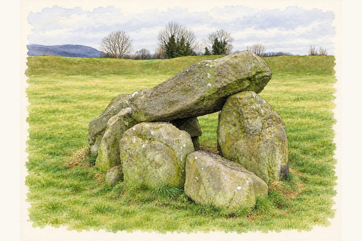
The Giant’s Ring in Ballynahatty is a large circular earthwork surrounding the surviving stone chamber of a tomb. The Department for Communities describes the henge as roughly 200 metres across and dates it to about 2700 BC. Five upright stones and a capstone remain from the tomb, originally covered by a mound of stone and earth. [2]
Aerial photographs revealed another enclosure nearby, marked by two rows of timber posts. Barrie Hartwell’s report records a three-week excavation in September 1990, which found deep pits probably intended for substantial posts. Identifiable charcoal was predominantly oak. With no artefacts securely associated with the pits, he awaited radiocarbon results and treated a late Neolithic or early Bronze Age date as provisional. The report captures the process of investigating a landscape extending beyond the visible Giant’s Ring. [3]
Census figures refer to the matched historical census area for each year. Boundaries and spellings can change over time.
Most frequent surnames in this year’s matched records
Most frequent surnames in this year’s matched records
Explore the 1911 records ↗This year is outside the available dataset’s coverage. This does not indicate a population of zero.
Name record retrieved 2026-10-25 · Source record modified 2019-06-27. How this page was prepared.