Townland

Ballygowan

An original census footnote connects a falling population with the loss of a rural industry.
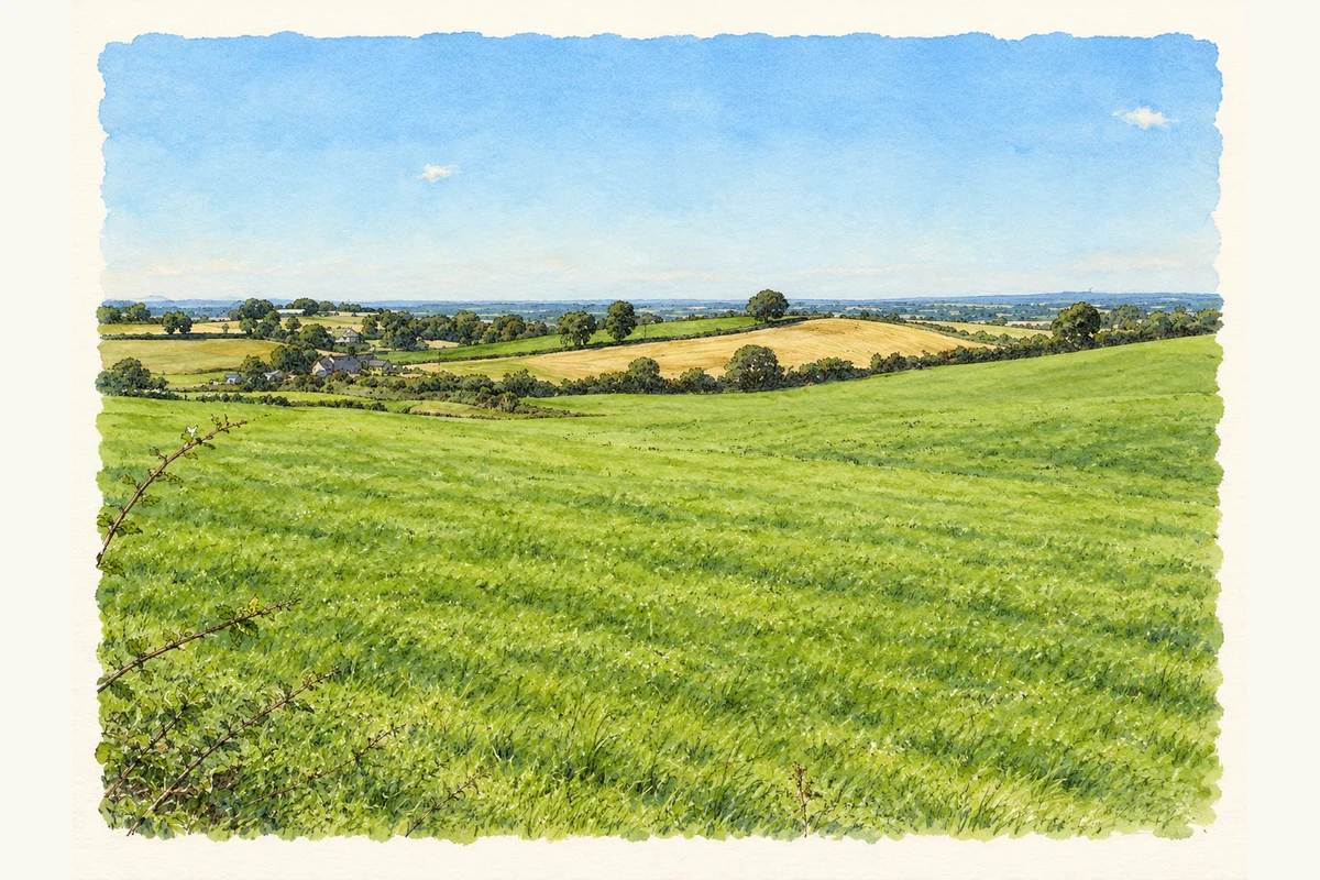
Watercolour and fine ink panorama of green fields, hedgerows and a pale harvested field in Ballygowan townland near Moira.
Illustration, Ballygowan townland off Patterson’s Road, County Down
Recorded locationBallygowan54.44765° N · 6.16747° WInteractive map supplied by OpenStreetMap.
Recorded place location · Logainm.ie

The name

A reliable full-name meaning has not been established here. The recorded Irish and English forms are given without an unsupported translation.

Recorded forms

  • Ballygowan · English · main form

Place & story

An explanation attached to the figures

The 1901 census recorded 167 people in this Ballygowan, compared with 234 in 1891 and 267 in 1881. A footnote attached to its 1901 total attributed the decrease to declining hand-loom weaving. This is the census report’s explanation, rather than proof that every resident worked as a weaver. [2]

Houses in the townland

The same return lists forty houses in 1901, of which thirty-six were inhabited and four empty. There had been forty-four houses in 1891 and forty-eight in 1881. Its headings place the townland in Moira parish and electoral division within the Down portion of Lurgan Union, distinguishing it from the Ballygowans near Comber and Drumbeg. [2]

Geographic information

Place type
Townland
County
Down
Civil parish
Moira
Coordinates
54.44765, -6.16747
Mapped area
2.07 km²
Logainm ID
66436 ↗

People & family history

Census figures refer to the matched historical census area for each year. Boundaries and spellings can change over time.

1901 census

167People recorded
36Households recorded

Most frequent surnames in this year’s matched records

  • McKeown 18
  • Wilkinson 15
  • Walker 13
  • McCord 12
  • Hanna 11
Explore the 1901 records ↗

1911 census

163People recorded
33Households recorded

Most frequent surnames in this year’s matched records

  • Wilkinson 26
  • McKeown 15
  • Thompson 13
  • Walker 13
  • Hanna 10
Explore the 1911 records ↗

1926 census

This year is outside the available dataset’s coverage. This does not indicate a population of zero.

Sources & further reading

  1. Logainm.ie — Ballygowan. Place names and geographic record, licensed under CC BY 4.0.
  2. Census of Ireland 1901: County Down, page 39 and footnote (d); published 1902 · His Majesty’s Stationery Office; printed by Cahill & Company
  3. Boundary geometry retains its source attribution and licence in the downloadable geographic record. Map tiles © OpenStreetMap contributors.
  4. Ballygowan townland off Patterson’s Road, County Down illustration: based on a Ballygowan Townland by Dean Molyneaux. AI-assisted watercolour and ink adaptation; cream paper margins added, incidental clutter omitted and fine details simplified. Licence: CC BY-SA 2.0.

Name record retrieved 2026-10-25 · Source record modified 2019-06-27. How this page was prepared.