 placenames
1901 census
No verified place match is available for this year. This does not indicate a population of zero.
Baile na hInse
A dated church, gallery stairs and a local clockmaker’s work preserve another strand of Ballynahinch’s history.
These Irish name elements are associated with this record in the Logainm glossary.
An element’s translation is a clue, rather than a complete explanation of the name. Its form and meaning depend on local history and the full Irish name.
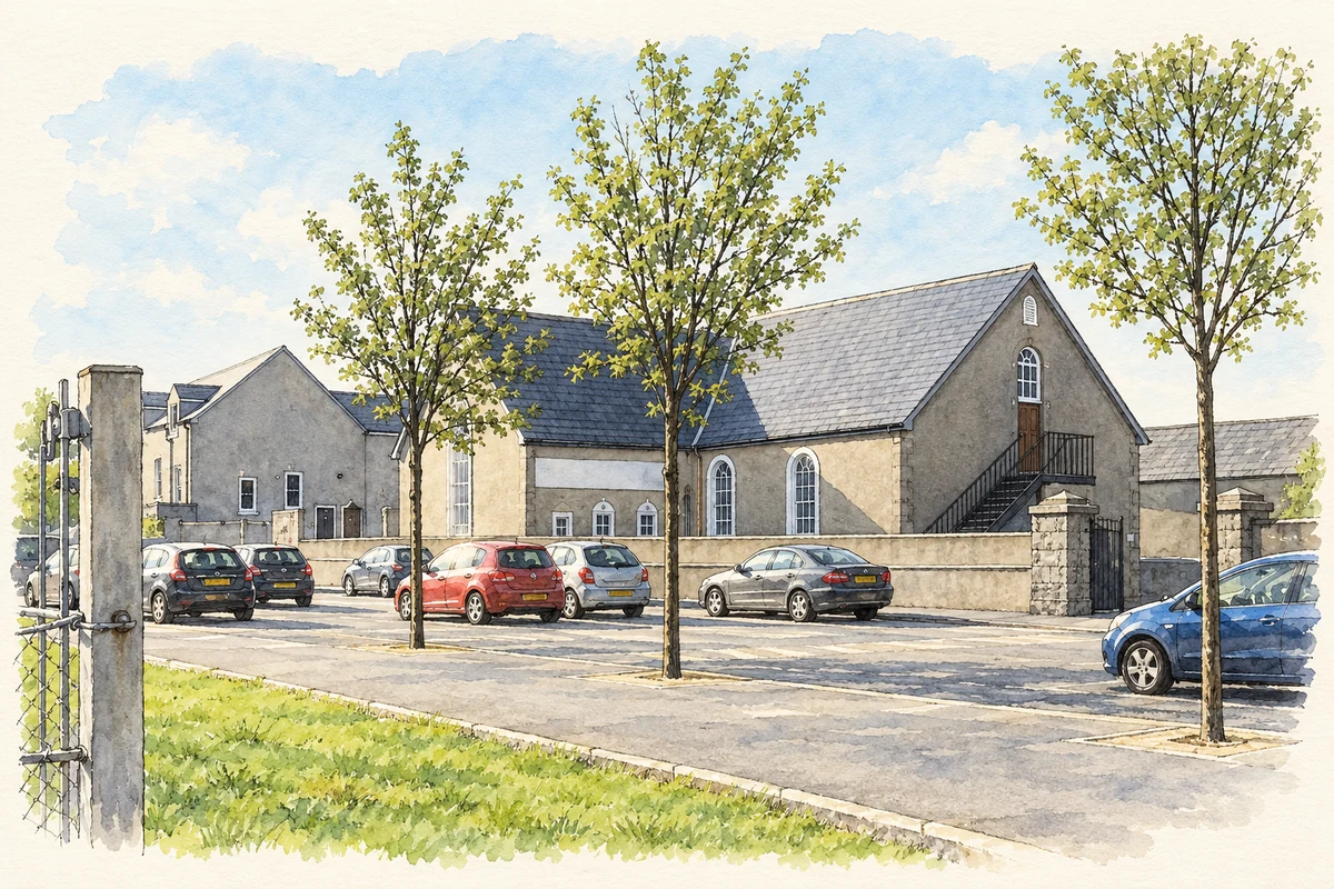
First Presbyterian Church stands on Windmill Street in Ballynahinch townland. Its datestone records construction in 1751 during John Strong’s ministry. The building has a cruciform plan and a surrounding graveyard. External stone stairs lead to galleries in three wings, with arched fanlights above the gallery doors. The architectural survey records a substantial extension to the southern wing around 1992. [2]
The official survey quotes the 1837 Ordnance Survey memoirs describing a well-maintained church with three galleries and repairs last undertaken in 1828. It suggests that the galleries may belong to that repair programme, based partly on their cast-iron columns. This is an architectural interpretation rather than a securely documented date for every internal alteration. [2]
Local clockmaker William Kenmuir installed the clock on the north gallery in 1843. His named contribution connects a working craftsperson with the meeting house’s interior, alongside the successive building campaigns recorded in its walls, stairs and galleries. [2]
Census figures refer to the matched historical census area for each year. Boundaries and spellings can change over time.
No verified place match is available for this year. This does not indicate a population of zero.
Most frequent surnames in this year’s matched records
Explore the 1911 records ↗This year is outside the available dataset’s coverage. This does not indicate a population of zero.
Name record retrieved 2026-10-25 · Source record modified 2019-06-27. How this page was prepared.