 placenames
Dunsfort
Áth an Donaigh
The Down census records this townland within Ardglass electoral division and Downpatrick Rural District.
The name
These Irish name elements are associated with this record in the Logainm glossary.
An element’s translation is a clue, rather than a complete explanation of the name. Its form and meaning depend on local history and the full Irish name.
Recorded forms
- Áth an Donaigh · Irish · main form · non-validated name
- Dunsfort · English · main form
Place & story
Fifty inhabitants
Dunsfort had fifty inhabitants in 1926, twenty-five male and twenty-five female, in thirteen occupied houses. The report records thirteen private families occupying forty-nine rooms. Its comparison columns give forty-nine inhabitants and fourteen houses in 1911. Listed under Ardglass electoral division and Strangford dispensary district, within Downpatrick Rural District, the townland had a recorded area of 382 acres and sixteen perches. These figures describe the census return without establishing whether the same families occupied the houses throughout the period. [2]
Geographic information
- Place type
- Townland
- County
- Down
- Barony
- Lecale Lower
- Civil parish
- Dunsfort
- Coordinates
- 54.29724, -5.59143
- Mapped area
- 1.57 km²
- Logainm ID
- 66847 ↗
Sources & further reading
- Logainm.ie — Dunsfort. Place names and geographic record, licensed under CC BY 4.0.
- Census of Northern Ireland 1926: County Down, Table 3, printed page 11 · Government of Northern Ireland; His Majesty’s Stationery Office, Belfast, 1928
- Boundary geometry retains its source attribution and licence in the downloadable geographic record. Map tiles © OpenStreetMap contributors.
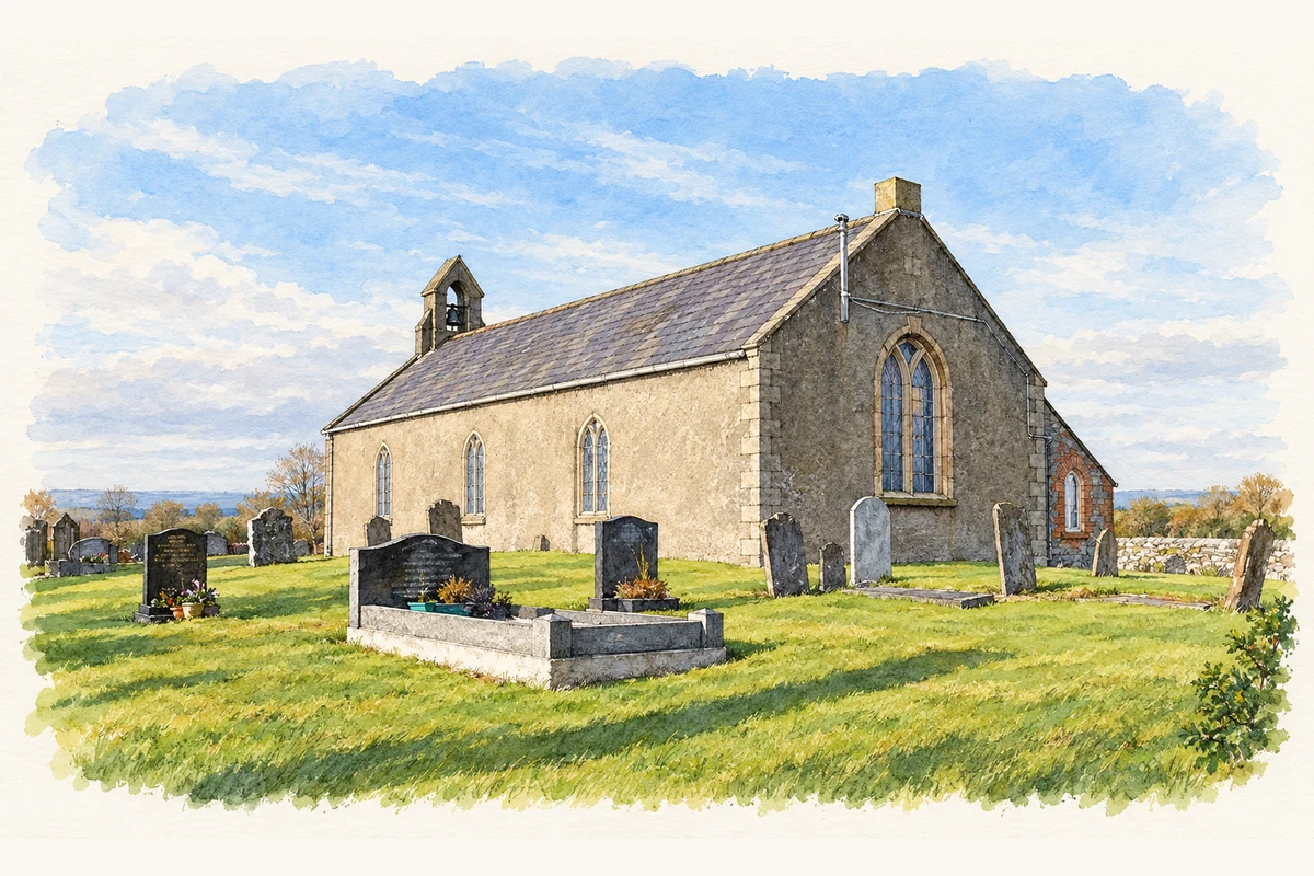
- Saint Mary's Church of Ireland at Dunsfort, County Down illustration: based on a St Mary's church near Ardglass (1) by Albert Bridge. AI-assisted watercolour and ink adaptation; cream paper margins added, incidental clutter omitted and fine details simplified. Licence: CC BY-SA 2.0.
Name record retrieved 2026-10-25 · Source record modified 2019-06-27. How this page was prepared.