 placenames
1901 census
23People recorded
8Households recorded
Most frequent surnames in this year’s matched records
- Cochrane 11
- McClury 4
- Woodburn 3
- Leay 2
- Graham 1
Inis
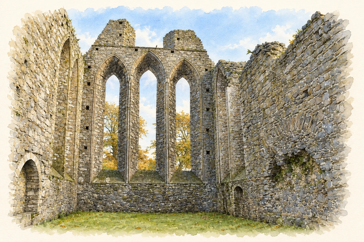
The townland contains Inch Abbey on the north bank of the Quoile, near Downpatrick.
These Irish name elements are associated with this record in the Logainm glossary.
An element’s translation is a clue, rather than a complete explanation of the name. Its form and meaning depend on local history and the full Irish name.
The Department for Communities attributes Inch Abbey’s foundation to John de Courcy, as atonement for destroying Erenagh Abbey to the south. It dates the surviving buildings mainly to the twelfth and thirteenth centuries and considers the church likely to predate Grey Abbey’s church, built around 1193. [2]
Declan P. Hurl’s 1993 excavation report describes medieval structures and industrial activity north of the abbey precinct, dated by pottery and a coin. Earlier ditches and a large pit lay beneath them. Trenches at the west range found considerable later disturbance and an older ditch passing beneath the cloister walk’s west wall. These excavated features show successive uses of the site beyond the standing ruins. [3]
Census figures refer to the matched historical census area for each year. Boundaries and spellings can change over time.
Most frequent surnames in this year’s matched records
Most frequent surnames in this year’s matched records
This year is outside the available dataset’s coverage. This does not indicate a population of zero.
Name record retrieved 2026-10-25 · Source record modified 2019-06-27. How this page was prepared.