 placenames
1901 census
27People recorded
8Households recorded
Most frequent surnames in this year’s matched records
- Connor 8
- McCoubrey 6
- McGarry 4
- Caher 3
- Coulter 3
An Baile Nua
Excavation revealed burial evidence inside a monument whose sequence of construction remains unresolved.
These Irish name elements are associated with this record in the Logainm glossary.
An element’s translation is a clue, rather than a complete explanation of the name. Its form and meaning depend on local history and the full Irish name.
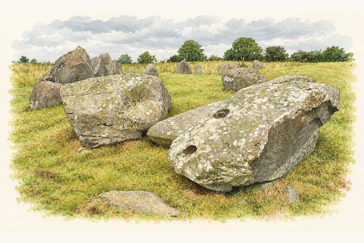
Ballynoe’s monument consists of a close-set stone circle surrounding an oval mound, with further stones outside it. A stone kerb marks the mound’s eastern part, while an arc of stones lies beyond its western end. The Department for Communities considers the visible monument likely to reflect a long development, probably spanning the late Neolithic to earlier Bronze Age. [2]
Partial excavation in 1937–1939 uncovered a three-compartment slab feature at the cairn’s western end and a stone cist at its eastern end. Cremated remains represented at least seven people, and Neolithic pottery was found. The department notes possible parallels with different tomb traditions, but stresses that there is no generally accepted interpretation of the monument. [2]
Census figures refer to the matched historical census area for each year. Boundaries and spellings can change over time.
Most frequent surnames in this year’s matched records
Most frequent surnames in this year’s matched records
This year is outside the available dataset’s coverage. This does not indicate a population of zero.
Name record retrieved 2026-10-25 · Source record modified 2019-06-27. How this page was prepared.