 placenames
1901 census
No verified place match is available for this year. This does not indicate a population of zero.
Caisleán na hOireanaí
The 1926 census records the Down townland separately from the wider Greencastle electoral division.
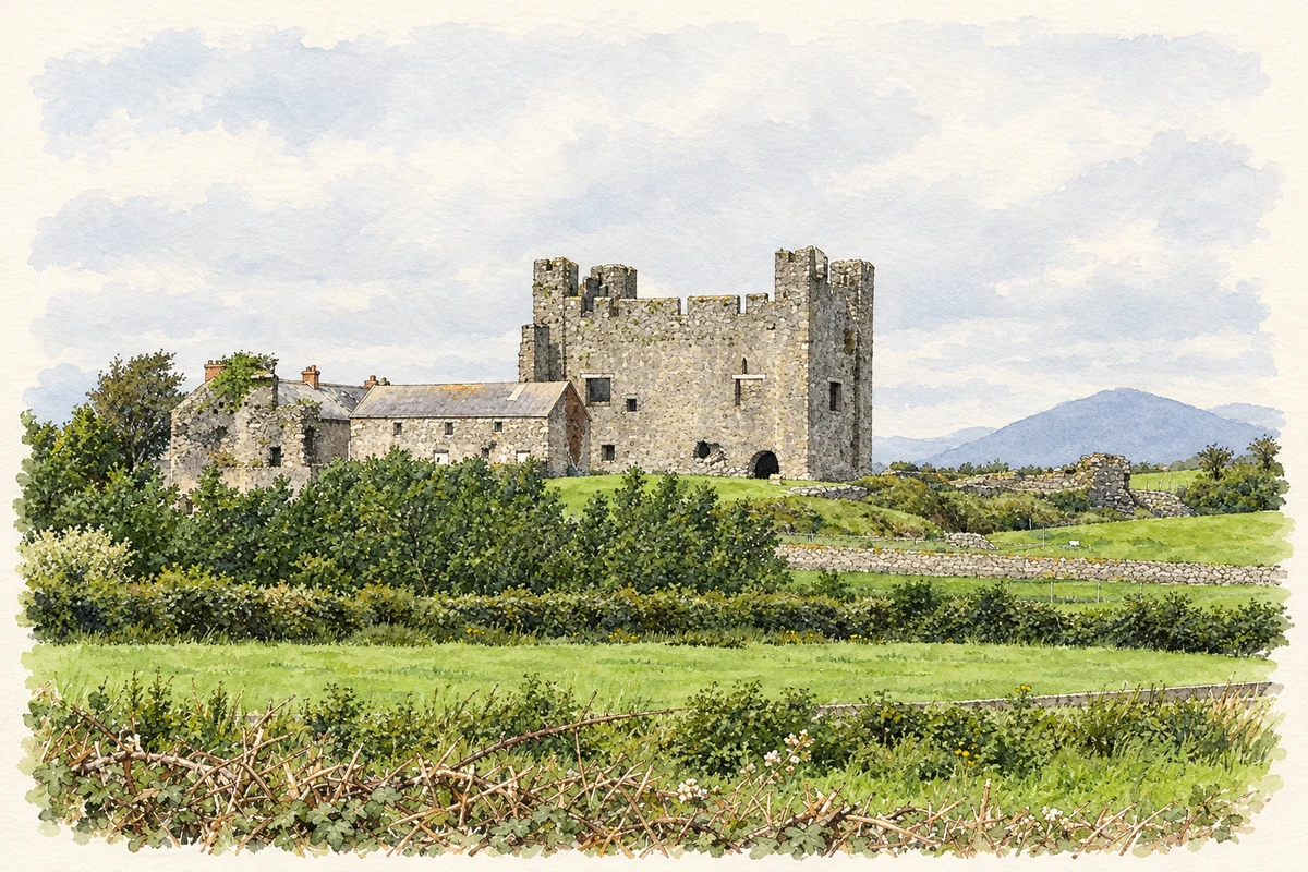
These Irish name elements are associated with this record in the Logainm glossary.
An element’s translation is a clue, rather than a complete explanation of the name. Its form and meaning depend on local history and the full Irish name.
Greencastle had 185 inhabitants in 1926, ninety-seven male and eighty-eight female. Of its fifty houses, forty-six were inhabited and four uninhabited. The return recorded forty-six private families occupying 219 rooms. It also gave the townland’s 1911 population as 251 and its house count that year as sixty-three. Its area was 633 acres and thirty-six perches. Greencastle belonged to Greencastle electoral division in Kilkeel Rural District, within Kilkeel No. 2 dispensary district. [2]
Census figures refer to the matched historical census area for each year. Boundaries and spellings can change over time.
No verified place match is available for this year. This does not indicate a population of zero.
Most frequent surnames in this year’s matched records
This year is outside the available dataset’s coverage. This does not indicate a population of zero.
Name record retrieved 2026-10-25 · Source record modified 2019-06-27. How this page was prepared.