Townland

Leitrim

Leitrim is a townland in Down. Explore its recorded names and geographic context.
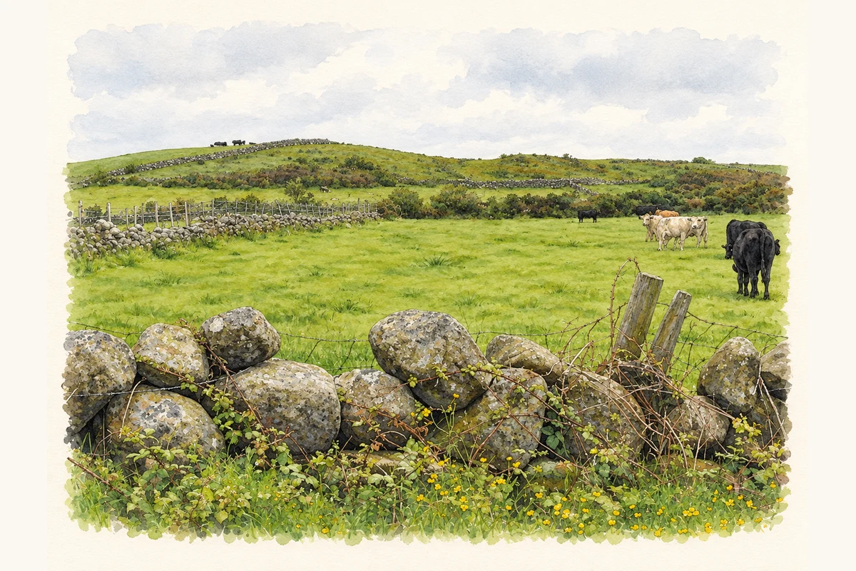
Watercolour and fine ink landscape over a rough granite field wall to green pasture and a low reclaimed hill, with a small cattle group on the right.
Illustration, pasture on Leitrim Hill near Attical, County Down, as photographed in June 2011
Recorded locationLeitrim54.10013° N · 6.02000° WInteractive map supplied by OpenStreetMap.
Recorded place location · Logainm.ie

The name

A reliable full-name meaning has not been established here. The recorded Irish and English forms are given without an unsupported translation.

Recorded forms

  • Leitrim · English · main form

Geographic information

Place type
Townland
County
Down
Barony
Mourne
Civil parish
Kilkeel
Coordinates
54.10013, -6.02000
Mapped area
3.19 km²
Logainm ID
67038 ↗

People & family history

Census figures refer to the matched historical census area for each year. Boundaries and spellings can change over time.

1926 census

This year is outside the available dataset’s coverage. This does not indicate a population of zero.

Sources & further reading

  1. Logainm.ie — Leitrim. Place names and geographic record, licensed under CC BY 4.0.
  2. Boundary geometry retains its source attribution and licence in the downloadable geographic record. Map tiles © OpenStreetMap contributors.
  3. Pasture on Leitrim Hill near Attical, County Down illustration: based on a Cattle on the slopes of Leitrim Hill by Eric Jones. AI-assisted watercolour and ink adaptation; cream paper margins added, incidental clutter omitted and fine details simplified. Licence: CC BY-SA 2.0.

Name record retrieved 2026-10-25 · Source record modified 2019-06-27. How this page was prepared.