 placenames
Garristown
Baile Gháire
A ruined tower and a later Catholic church mark successive building campaigns in a parish with a documented trading calendar.
The name
These Irish name elements are associated with this record in the Logainm glossary.
An element’s translation is a clue, rather than a complete explanation of the name. Its form and meaning depend on local history and the full Irish name.
Recorded forms
- Baile Gháire · Irish · main form · validated name
- Garristown · English · main form
Place & story
A tower in the old churchyard
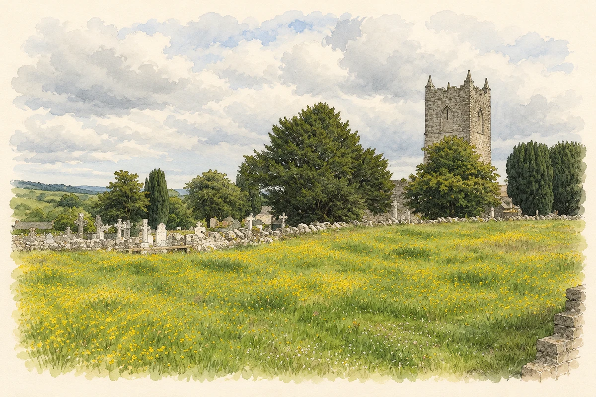
Garristown’s ruined Church of Ireland church is dated to about 1800 by the architectural inventory, which identifies it with the Board of First Fruits. A square, three-stage tower rises at its western end, with battlements and slender stone obelisks. Pointed openings and a limestone doorway survive in the rubble walls. The tower preserves a more elaborate architectural outline than the plain rectangular body of the former church. [2]
Limestone, stained glass and a gallery
The Church of the Assumption belongs to a later period, dated approximately to 1900 in the inventory. Its limestone exterior has a rose window above the entrance and a polygonal apse at the opposite end. The survey recorded an exposed timber roof, stained glass and a marble altar with a decorated backdrop. A cast-iron spiral staircase gives access to the timber gallery above the entrance, combining metalwork and carpentry within the worship space. [3]
The parish’s trading calendar
In 1837 Samuel Lewis recorded fairs on 5 May, 15 August and 1 November, alongside the extraction of building stone and turf in the parish. He also distinguished Garristown’s Catholic chapel, erected in 1828, from Ballymadun’s chapel in the united Catholic district. His account therefore documents both a recurring commercial calendar and the earlier generation of chapel provision before the present Church of the Assumption. [4]
Geographic information
- Place type
- Civil parish
- County
- Dublin
- Barony
- Balrothery West
- Coordinates
- 53.56736, -6.37084
- Mapped area
- 21.64 km²
- Logainm ID
- 845 ↗
Sources & further reading
- Logainm.ie — Garristown. Place names and geographic record, licensed under CC BY 4.0.
- Garristown Church, record11313010 · National Inventory of Architectural Heritage
- Catholic Church of the Assumption, record11313008 · National Inventory of Architectural Heritage
- Garristown, A Topographical Dictionary of Ireland, 1837 · Samuel Lewis
- The ruined church tower and churchyard at Garristown, County Dublin, as photographed in June 2008 illustration: based on a Church and graveyard at Garristown by Kieran Campbell. AI-assisted watercolour and ink adaptation; cream paper margins added, incidental clutter omitted and fine details simplified. Licence: CC BY-SA 2.0.
Name record retrieved 2026-10-25 · Source record modified 2024-06-28. How this page was prepared.