 placenames
Glounthaune
An Gleanntán
A planned harbour village, a richly coloured church and surviving railway ironwork tell Glounthaune’s story beside the Lee estuary.
The name
A reliable full-name meaning has not been established here. The recorded Irish and English forms are given without an unsupported translation.
Recorded forms
- An Gleanntán · Irish · main form · validated name
- Glounthaune · English · main form
Place & story
New Glanmire on the estuary
Glounthaune was laid out by the Falkiner family of Annmount in the early nineteenth century and was originally known as New Glanmire. Its position against a sea wall on the Lee estuary remains central to its setting. RTÉ filmed the village for Hall’s Pictorial Weekly in April 1979: children playing, ducks being fed and a furniture delivery formed part of its brief portrait of everyday community life. [2]
The Sacred Heart Church
The Sacred Heart Church combines local red sandstone with pale Ballintemple limestone. The National Inventory of Architectural Heritage attributes its execution to Samuel F. Hynes, using George Ashlin’s design for Ballyhooly as a model. Pointed windows, carved stonework and the bellcote give it a Gothic Revival character. Within are a timber gallery, stained glass and a carved marble altar and reredos. Its carefully contrasted materials make it a particularly recognisable building along the village frontage. [3]
Victorian ironwork at the station
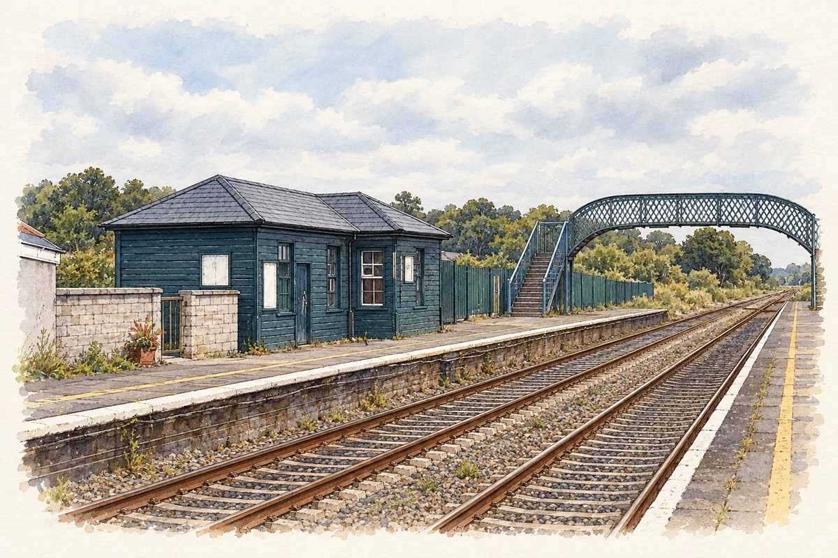
The cast-iron footbridge at Glounthaune station was built in 1862. A shallow arch spans the railway, supported by eight iron columns, with stairs descending to the platforms. Cross-braced railings and decorative posts combine practical engineering with ornamental detail. The inventory records a maker’s mark on a column and identifies the bridge as part of a group of related station structures. [4]
Railway signals kept by the community
The local community association preserved another railway reminder by moving the former Queenstown Junction signals to Craig’s Field, west of the playground. Its 2022 newsletter explains that permission was obtained to relocate the signals and points to a history board showing them in their original position. The display keeps a tangible part of the junction’s railway operations within the community landscape. [5]
Geographic information
Sources & further reading
- Logainm.ie — Glounthaune. Place names and geographic record, licensed under CC BY 4.0.
- The Community of Glounthaune, 1979 · RTÉ Archives
- Sacred Heart Roman Catholic Church, Glounthaune: 20907537 · National Inventory of Architectural Heritage
- Glounthaune Station footbridge: 20907540 · National Inventory of Architectural Heritage
- Glounthaune Community News, March–April 2022, pages 20–21 · Glounthaune Community Association
- Glounthaune railway station, County Cork illustration: based on a Cobh Junction (Glounthaune) station - 2 by The Carlisle Kid. AI-assisted watercolour and ink adaptation; cream paper margins added, incidental clutter omitted and fine details simplified. Licence: CC BY-SA 2.0.
Name record retrieved 2026-10-25 · Source record modified 2025-01-10. How this page was prepared.