A reliable full-name meaning has not been established here. The recorded Irish and English forms are given without an unsupported translation.
Recorded forms
An Cóbh· Irish · main form · validated name
Cóbh· English · main form
Place & story
A town with historical names
Lewis files the settlement under Cove in 1837 and locates it on Great Island in Cork Harbour. Cobh Heritage Centre records its renaming as Queenstown for Victoria’s visit in 1849. A search for a family, ship or institution may therefore need all three forms: Cove, Queenstown and Cobh. Their use should follow the period and source, rather than silently modernising every historical address or treating the names as separate towns.[2][3]
The slope above the anchorage
The directory describes streets rising in tiers on a steep hillside above the water. It connects the town’s growth with fleets, harbour fortifications, naval supply and embarkation. The terraced form is thus part of a working maritime landscape, not merely a scenic backdrop. Lewis also distinguishes routes involving a ferry from the longer overland journey to Cork, showing how the mode of travel could alter the practical distance between neighbouring places.[2]
A place of departure
The heritage centre describes naval and commercial traffic, convict transport and emigration alongside goods arriving and leaving the harbour. A person appearing in a Queenstown passenger record may have travelled there from another county or country. Departure is not evidence of local birth. Lewis places Cove chiefly in Templerobin and partly in Clonmel parish; keep those smaller jurisdictions, occupation and street beside a genuine local-residence claim, while distinguishing the town from the wider harbour.[2][3]
Both counts use the 2016 settlement boundary, allowing like-for-like comparison. CSO supplies the 2022 count on this older boundary for comparison only. The official 2022 Built Up Area has different boundaries.
View population figures
Cobh — Census 2016 settlement footprint — census population
These figures use different area definitions. Read the boundary note before comparing them.
Cobh, Cork — 2011 legal town and environs; 2016 census settlement
Published census settlement populations
12,800people · 2016
Settlement boundaries changed during this period. Differences may reflect boundary changes as well as population change. Where a 2011 legal-town-and-environs count is shown, it has not been recalculated onto the 2016 settlement boundary.
View population figures
Cobh, Cork — 2011 legal town and environs; 2016 census settlement — census population
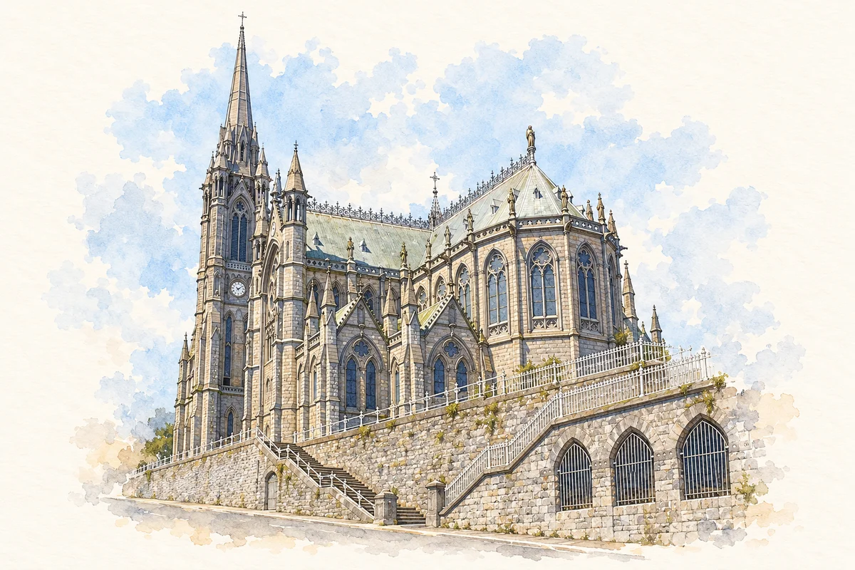
St Colman's Cathedral, Cobh illustration: based on a reference by A. (Polish Wikipedia). AI-assisted watercolour and ink adaptation; clutter removed, cream paper margins added and fine details simplified. Licence: CC BY-SA 3.0.
 placenames