 placenames
Clanmaurice
Clann Mhuiris
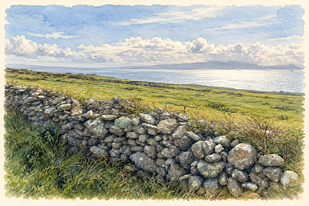
Ballyheigue’s coastal setting shaped its fields, fuel grounds and building materials.
The name
A reliable full-name meaning has not been established here. The recorded Irish and English forms are given without an unsupported translation.
Recorded forms
- Clann Mhuiris · Irish · main form
- Clanmaurice · English · main form
Place & story
Land behind the dunes
Samuel Lewis’s 1837 account of Ballyheigue parish in Clanmaurice describes cultivated land improved with material gathered from the sea. Sand hills protected some low boggy ground from seawater, while the exposed Atlantic setting limited tree growth. Brown building stone was available near the shore. These observations record a working coastal landscape that combined farming and local resources with the difficulties of weather and exposure around Kerry Head. [2]
Geographic information
Sources & further reading
- Logainm.ie — Clanmaurice. Place names and geographic record, licensed under CC BY 4.0.
- Ballyheigue: A Topographical Dictionary of Ireland (1837) · Samuel Lewis
- Dry-stone wall and fields on Kerry Head illustration: based on a A fine stone wall and a fine view too by Neville Goodman. AI-assisted watercolour and ink adaptation; cream paper margins added, incidental clutter omitted and fine details simplified. Licence: CC BY-SA 2.0.
Name record retrieved 2026-10-25 · Source record modified 2026-09-19. How this page was prepared.