These Irish name elements are associated with this record in the Logainm glossary.
An element’s translation is a clue, rather than a complete explanation of the name. Its form and meaning depend on local history and the full Irish name.
Recorded forms
Doire· Irish · main form · validated name
Derry· English · main form
Place & story
Between Foyle and Bann
Lewis's 1837 county account places the territory between Lough Foyle, the Atlantic and County Antrim, with Tyrone to the south. He recalls the earlier name County Coleraine and the O'Cahan or O'Kane lordship in the Roe Valley. The historical county is larger than Derry city. Its coast, inland valleys and southern lough-side country supplied varied settings for settlement, farming and trade.[2]
People & connections
Seamus Heaney at Mossbawn
Seamus Heaney was born in 1939 at Mossbawn, a family farm near Castledawson. HomePlace's biographical account follows his childhood there and at The Wood outside Bellaghy, and his schooling at Anahorish and St Columb's College in Derry. His connection with the county is both rural and urban. Later international recognition did not erase those beginnings: the landscapes and work he knew as a child remained important to his writing.[3]
Places behind the poems
HomePlace's Open Ground project identifies particular locations associated with Heaney's work, including the Moyola River, the Strand at Lough Beg, Magherafelt and Bellaghy Bawn. They also show how ordinary places—a riverbank, a bus station or ground used for grazing—can acquire significance through a writer's remembered experience.[4]
Folklore & tradition
Protection on Hallow Eve
Elizabeth Andrews's Ulster Folklore, published in 1913, records a belief she first encountered in the Roe Valley: oatmeal and salt were placed on children's heads on Hallow Eve to protect them from fairies. She also describes warnings near Dungiven against disturbing stones at an ancient site.[5]
Published county totals use the boundaries at each census; administrative changes can affect comparisons. Early figures exclude members of the armed forces.
View population figures
Derry — historical county and county borough — census population
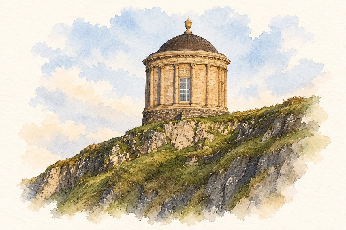
Mussenden Temple, County Derry illustration: based on a Mussenden Temple by N Chadwick. AI-assisted watercolour and ink adaptation; cream paper margins added, incidental clutter omitted and fine details simplified. Licence: CC BY-SA 2.0.
 placenames