 placenames
Bridgetown
Baile an Droichid
Bridgetown’s school taught agriculture as well as classroom subjects, while its everyday services helped determine the course of a neighbouring bridge campaign.
The name
These Irish name elements are associated with this record in the Logainm glossary.
An element’s translation is a clue, rather than a complete explanation of the name. Its form and meaning depend on local history and the full Irish name.
Recorded forms
- Baile an Droichid · Irish · main form · non-validated name
- Bridgetown · English · main form
Place & story
A school with a working farm
Bridgetown’s boys’ and girls’ national schools were recognised on 4 July 1850, occupying separate floors of a former church. James McGrath headed the boys’ school and his wife Bridget headed the girls’. James established an agricultural school, one of three in Clare in 1857. Senior boys combined practical work on its farm with classroom instruction in agricultural theory. The agricultural school reverted to an ordinary boys’ national school in 1874. Boys and girls were eventually amalgamated in 1935, and the present school building opened in 1960. [2]
Saint Thomas’s church
Saint Thomas’s Catholic Church carries a plaque recording its construction in 1832 and refurbishment in 1970. The Clare Heritage Office describes a major rebuilding in 1970, when the walls were lowered. Its stained glass includes a memorial window donated by Sylvester Moynihan of New South Wales in memory of his family. The inscription preserves the Irish family name O’Muimhneachain and its connection with Kilcredan. [3]
Keeping the road to Bridgetown open
When the Shannon hydroelectric scheme cut a new canal across local roads, access to Bridgetown became a public issue. A 1927 proposal placed a bridge at Knockadrehid, lengthening journeys from O’Briensbridge to Bridgetown’s church, school and creamery. Residents petitioned industry minister P. J. McGilligan for a crossing on the Bridgetown Road instead. Their campaign succeeded, preserving the more direct connection between the two villages. [4]
Geographic information
- Place type
- Population centre
- County
- Clare
- Barony
- Tulla Lower
- Civil parish
- O'Briensbridge
- Within
- Ardataggle
- Within
- O'Briensbridge
- Coordinates
- 52.76203, -8.52381
- Logainm ID
- 104041 ↗
Sources & further reading
- Logainm.ie — Bridgetown. Place names and geographic record, licensed under CC BY 4.0.
- History of our School · Bridgetown National School
- Bridgetown (Whitehill), St Thomas’ Catholic Church · John Glynn, County Clare Heritage Office
- Location of bridge at O’Briensbridge · Peggy Ryan, Clonlara Community Heritage, 15 February 2025
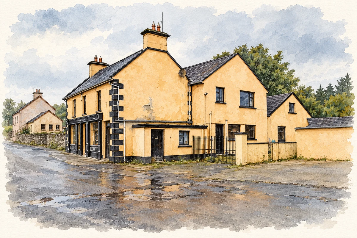
- Cooney's Bar, Bridgetown, County Clare illustration: based on a Cooneys Bar (3), Bridgetown by P L Chadwick. AI-assisted watercolour and ink adaptation; cream paper margins added, incidental clutter omitted and fine details simplified. Licence: CC BY-SA 2.0.
Name record retrieved 2026-10-25 · Source record modified 2026-06-09. How this page was prepared.