Townland

Urney

An Urnaí

The church on Bell Road combines a rose window with detailed sandstone work.
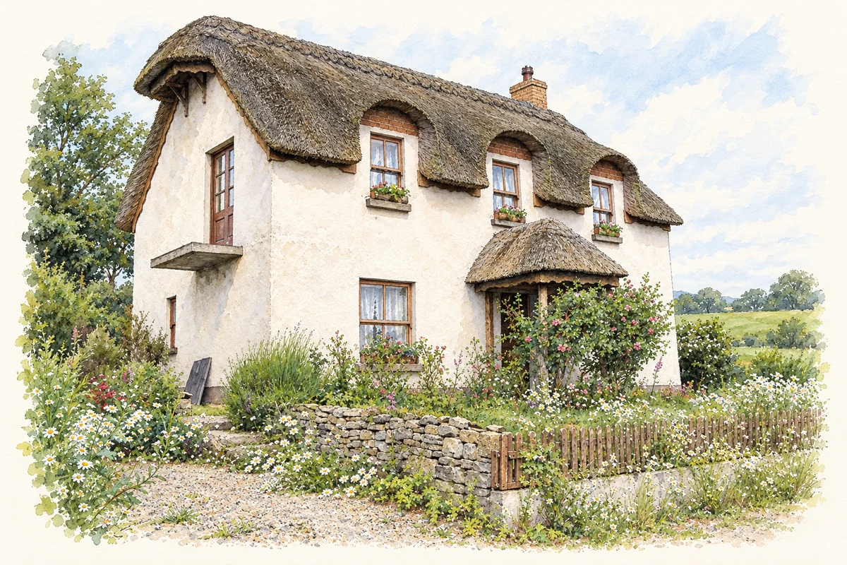
Watercolour and fine ink of a white two-storey thatched cottage with three upper windows, a small porch and flower-filled garden at Urney.
A thatched cottage at Urney, near Strabane, as photographed in June 2006.
Recorded locationUrney54.80096° N · 7.52092° WInteractive map supplied by OpenStreetMap.
Recorded place location · Logainm.ie

The name

A reliable full-name meaning has not been established here. The recorded Irish and English forms are given without an unsupported translation.

Recorded forms

  • An Urnaí · Irish · main form
  • Urney · English · main form

Place & story

The western entrance

Christ Church stands east of Bell Road in Urney. A circular stained-glass window fills its western gable above a projecting porch. The porch entrance has small columns beside its timber doors, while pointed windows elsewhere contain stone tracery. At the road, square sandstone gateposts carry carved quatrefoils and decorative iron gates. These details are recorded in the official architectural survey of March 2009. [2]

Geographic information

Place type
Townland
County
Tyrone
Civil parish
Urney
Coordinates
54.80096, -7.52092
Mapped area
0.9 km²
Logainm ID
1166875 ↗

People & family history

Census figures refer to the matched historical census area for each year. Boundaries and spellings can change over time.

1901 census

36People recorded
6Households recorded

Most frequent surnames in this year’s matched records

  • Hall 11
  • Barrett 6
  • Galbraith 5
  • Logan 5
  • Perry 5
Explore the 1901 records ↗

1911 census

32People recorded
5Households recorded

Most frequent surnames in this year’s matched records

  • Gillespie 10
  • Barrett 8
  • Perry 8
  • Bustard 3
  • Logan 2
Explore the 1911 records ↗

1926 census

This year is outside the available dataset’s coverage. This does not indicate a population of zero.

Sources & further reading

  1. Logainm.ie — Urney. Place names and geographic record, licensed under CC BY 4.0.
  2. Christ Church, HB10/08/005, survey9March2009 · Department for Communities, Historic Environment Division
  3. Boundary geometry retains its source attribution and licence in the downloadable geographic record. Map tiles © OpenStreetMap contributors.
  4. Thatched cottage at Urney, near Strabane, County Tyrone illustration: based on a Cottage at Urney, Strabane by Kenneth Allen. AI-assisted watercolour and ink adaptation; cream paper margins added, incidental clutter omitted and fine details simplified. Licence: CC BY-SA 2.0.

Name record retrieved 2026-10-25 · Source record modified 2019-06-27. How this page was prepared.