These Irish name elements are associated with this record in the Logainm glossary.
An element’s translation is a clue, rather than a complete explanation of the name. Its form and meaning depend on local history and the full Irish name.
Recorded forms
Baile Mhúráin· Irish · main form · validated name
Murntown· English · main form
Place & story
Successive churches in the village
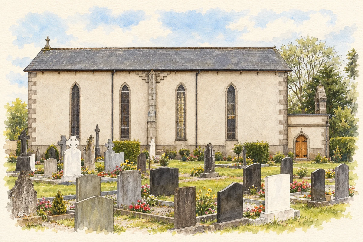
The parish history records a mud-walled, thatched chapel built at Murrintown during William Devereux’s ministry and burned on 24 April 1799. A cruciform church followed, before the present Saint Catherine’s replaced it during Patrick Keating’s pastorate, 1846–58. The account also describes the church at Kilmachree serving the area during this period of change. These were successive places of worship, with the present building following earlier village chapels and older parish sites at Kildavin.[2]
People & connections
A house steward’s memorial
The graveyard at Kildavin Lower contains a monument erected in 1868 to Joseph Underwood, described as having served for many years as house steward to the Earl and Countess of Granard at Johnstown Castle. George Arthur Hastings Forbes commissioned the memorial. The architectural inventory also records stones signed by James Byrne of Clone and crosses supplied by local ironworks. Alongside the estate connection, these markers preserve evidence of craftspeople producing memorials in stone and iron.[3]
People & connections
Austin O’Sullivan’s rural collection
At nearby Johnstown Castle, the Irish Agricultural Museum grew from the collecting work of Dr Austin O’Sullivan, a researcher for the Agricultural Institute. He recognised that mechanisation threatened the survival of horse-drawn equipment, tools and knowledge. His employers supported a museum in the estate’s farm courtyard buildings. Its collections include tractors, carts, threshing machinery, dairy equipment and household interiors, with displays devoted to trades such as blacksmithing and coopering. The former agricultural workplace became a setting for preserving other working lives.[4]
A shattered window brought back into view
A 1920 Earley and Company stained-glass window originally stood in Rathaspeck’s Church of Ireland church. After vandalism, O’Sullivan rescued the fragments in 1985 and stored them at the agricultural museum. Funding in 2023 enabled conservator Colette Langan to restore the window, which was installed in Johnstown Castle’s Flag Hall. The Irish Heritage Trust’s 2024 account identifies it as a memorial to Gerald FitzGerald and his cousin Desmond, both killed during the First World War. Its movement from church to store to castle preserves a further link between the estate and its surrounding parishes.[5]
Both counts use the 2016 settlement boundary, allowing like-for-like comparison. CSO supplies the 2022 count on this older boundary for comparison only. The official 2022 Built Up Area has different boundaries.
View population figures
Murntown — Census 2016 settlement footprint — census population
These are the historical areas published in the 2006 census report. Boundaries may differ between censuses and from modern settlements. Legal towns, environs and suburbs are shown separately; none has been combined into a modern settlement total.
View population figures
Murntown, Wexford — Census town, CSO 2006 report — census population
These are the historical areas published in the 1996 census report. Boundaries may differ between censuses and from modern settlements. Legal towns, environs and suburbs are shown separately; none has been combined into a modern settlement total.
View population figures
Murntown, Wexford — Census town, CSO 1996 report — census population
These figures use different area definitions. Read the boundary note before comparing them.
Murntown, Wexford
Published census settlement populations
365people · 2016
Settlement boundaries changed during this period. Differences may reflect boundary changes as well as population change. Where a 2011 legal-town-and-environs count is shown, it has not been recalculated onto the 2016 settlement boundary.
 placenames