 placenames
Springfield
Achadh an Fhuaráin
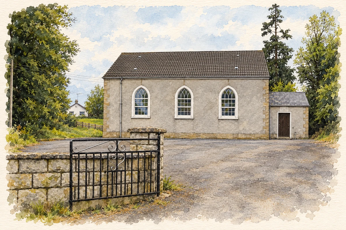
Springfield’s Methodist history connects this small Fermanagh settlement with a wider nineteenth-century preaching circuit. Its church-side trees and nearby archaeological remains form part of a landscape recognised in local planning.
The name
These Irish name elements are associated with this record in the Logainm glossary.
An element’s translation is a clue, rather than a complete explanation of the name. Its form and meaning depend on local history and the full Irish name.
Recorded forms
- Achadh an Fhuaráin · Irish · main form · validated name
- Springfield · English · main form
Place & story
Methodism and the Enniskillen circuit
A nineteenth-century history of Methodism describes religious meetings at Springfield during a revival on the Enniskillen circuit in 1830. Its account contrasts small early gatherings with later, more crowded meetings and renewed financial support. A further report written from Springfield by John Henning in 1858 described increased participation following meetings at Derrygonnelly the previous year. These are religious participants’ accounts of their own movement, showing Springfield’s place in a network of travelling ministers, local leaders and meetings across the surrounding countryside. [2]
Trees, a watercourse and a rath
The Fermanagh Area Plan identifies several landscape features around Springfield for particular consideration: a rath and its immediate surroundings at Donegall, trees beside a watercourse south of the Methodist church, and mature trees adjoining a farm group at the southern end of the village. These are modest features beside the county’s better-known monuments, but together they preserve the relationship between settlement, farmland, water and earlier occupation. The plan treats their settings as part of the village landscape. [3]
Nearby Monea Castle
Nearby Monea Castle offers a substantial example of seventeenth-century Plantation architecture. Enniskillen Castle’s museum account dates the beginning of construction to 1616 under the Reverend Malcolm Hamilton, later Archbishop of Cashel, and records the addition of a surrounding bawn in 1623. Its Scottish character is particularly visible in the large rounded towers at the entrance, which support square caphouses with stepped gables. The surviving shell makes the arrangement of its three main floors legible. Monea is a separate neighbouring site, rather than a castle within Springfield itself. [4]
Geographic information
- Place type
- Population centre
- County
- Fermanagh
- Barony
- Magheraboy
- Civil parish
- Devenish
- Coordinates
- 54.37128, -7.73840 (approximate)
- Logainm ID
- 130657 ↗
Sources & further reading
- Logainm.ie — Springfield. Place names and geographic record, licensed under CC BY 4.0.
- Springfield, 1830 and 1858: extracts from History of Methodism in Ireland, Volume III · Charles Henry Crookshank; reproduced by UK Wells, pages 180 and 494
- Fermanagh Area Plan 2007, Part 2: Springfield, page 212 · Planning Service; copy hosted by Fermanagh and Omagh District Council
- Monea Castle: Plantation castles in Fermanagh · Enniskillen Castle Museums
- Springfield Methodist Church, County Fermanagh illustration: based on a Springfield Methodist Church by Kenneth Allen. AI-assisted watercolour and ink adaptation; cream paper margins added, incidental clutter omitted and fine details simplified. Licence: CC BY-SA 2.0.
Name record retrieved 2026-10-25 · Source record modified 2010-04-19. How this page was prepared.