The harbour settlement grew with railway and maritime infrastructure, and its rescue service inherited a history shared with Rosslare Fort and Wexford.
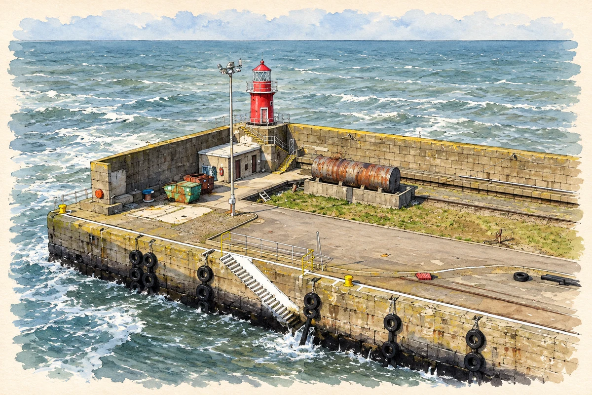
Illustration, Rosslare Harbour lighthouse and breakwater
⊕Recorded locationRosslare Harbour52.24891° N · 6.33997° WInteractive map supplied by OpenStreetMap.
These Irish name elements are associated with this record in the Logainm glossary.
An element’s translation is a clue, rather than a complete explanation of the name. Its form and meaning depend on local history and the full Irish name.
Recorded forms
Calafort Ros Láir· Irish · main form · validated name
Rosslare Harbour· English · main form
Place & story
A harbour landscape taking shape
An archaeological assessment for Rosslare Europort traces the settlement through historical maps. Early twentieth-century mapping shows railway infrastructure, a turntable, stores or engine sheds, and the pier under construction. Terraced housing stood above the foreshore, including the row labelled Tusker Dwellings, while coastguard and lifeboat stations occupied positions near the pier's landward end. Together these features show a place organised around transport and maritime employment. The houses belong to the same historical landscape as the railway and harbour, rather than forming an unrelated seaside development.[2]
Several stations behind one history
The lifeboat service's origins need careful distinction. In a 1952 account, the RNLI traced the first station to Rosslare Fort in 1838; a separate Rosslare Harbour station appeared in 1896. The harbour station closed in 1921, and the Wexford station transferred to Rosslare Harbour in 1927. In June 1952, the harbour's new lifeboat was named Douglas Hyde at a ceremony in Wexford. The name honoured Ireland's first president. This succession explains why older accounts of the modern station also describe rescues made from other nearby bases.[3]
People & connections
The two halves of the World Concord
In November 1954, the tanker World Concord broke in two during a severe Irish Sea storm. The stern section drifted towards Wales, where the St Davids lifeboat rescued thirty-five people. Rosslare Harbour's crew saved seven from the forward section drifting towards Ireland. The following year, Coxswain Richard Walsh received an RNLI Silver Medal, with Bronze Medals for William Duggan and Richard Hickey. The rescue is a documented episode of cooperation across the sea, with separate crews reaching the survivors on the two parts of the same ship.[4]
Ballygeary or Rosslare Harbour — Census 2016 settlement footprint
Population within 2016 settlement boundaries
1,404people · 2022
Both counts use the 2016 settlement boundary, allowing like-for-like comparison. CSO supplies the 2022 count on this older boundary for comparison only. The official 2022 Built Up Area has different boundaries.
View population figures
Ballygeary or Rosslare Harbour — Census 2016 settlement footprint — census population
Ballygeary (Rosslare Harbour), Wexford — Census town, CSO 2006 report
2002–2006: census town
1,041people · 2006
These are the historical areas published in the 2006 census report. Boundaries may differ between censuses and from modern settlements. Legal towns, environs and suburbs are shown separately; none has been combined into a modern settlement total.
View population figures
Ballygeary (Rosslare Harbour), Wexford — Census town, CSO 2006 report — census population
Ballygeary (Rosslare Harbour), Wexford — Census town, CSO 1996 report
1991–1996: census town
1,023people · 1996
These are the historical areas published in the 1996 census report. Boundaries may differ between censuses and from modern settlements. Legal towns, environs and suburbs are shown separately; none has been combined into a modern settlement total.
View population figures
Ballygeary (Rosslare Harbour), Wexford — Census town, CSO 1996 report — census population
Figures cover the historical town area printed in the 1986 report. Boundaries may have changed between censuses. Legal town, environs and suburb totals remain separate and differ from modern settlement boundaries.
View population figures
Ballygeary (or Rosslare Harbour), Wexford — Census town, CSO 1986 report — census population
These figures use different area definitions. Read the boundary note before comparing them.
Ballygeary (Rosslare Harbour), Wexford
Published census settlement populations
1,200people · 2016
Settlement boundaries changed during this period. Differences may reflect boundary changes as well as population change. Where a 2011 legal-town-and-environs count is shown, it has not been recalculated onto the 2016 settlement boundary.
View population figures
Ballygeary (Rosslare Harbour), Wexford — census population
Rosslare Harbour lighthouse and breakwater illustration: based on a Breakwater and lighthouse at Rosslare harbour by Gareth James. AI-assisted watercolour and ink adaptation; cream paper margins added, incidental clutter omitted and fine details simplified. Licence: CC BY-SA 2.0.
 placenames