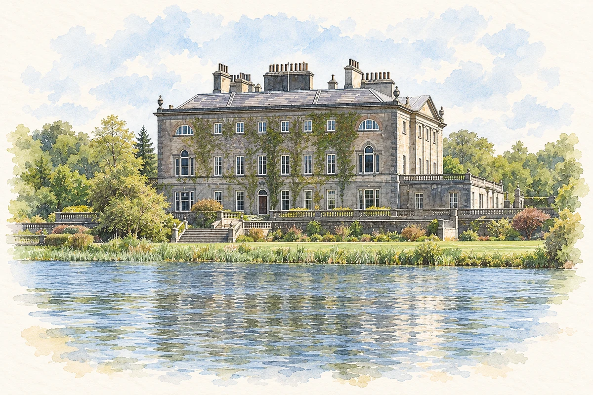
Westport’s ordered riverfront is only one part of its character. Harbour trade, traditional music and the nearby pilgrimage mountain connect the town with a much wider landscape.
Illustration, Westport House
⊕Recorded locationWestport53.79640° N · 9.53859° WInteractive map supplied by OpenStreetMap.
A reliable full-name meaning has not been established here. The recorded Irish and English forms are given without an unsupported translation.
Recorded forms
Cathair na Mart· Irish · main form · validated name
Westport· English · main form
Place & story
The river through the planned town
Lewis’s 1837 account singles out the Mall, where houses on either bank and lines of trees created a promenade. Westport House and its demesne were closely connected with the town’s approaches and river scenery. The view is therefore shaped by estate development as well as by the watercourse. Reading the Mall alongside the house and its grounds reveals a deliberately arranged townscape at the south-eastern end of Clew Bay.[2]
Beyond the attractive frontage
The same account describes exports of agricultural produce and imports of timber from America and the Baltic, as well as British manufactured goods. It also recalls a herring fishery whose scale changed over time. Those activities place Westport within long-distance commercial networks. The harbour’s working history gives the elegant streets another context: cargoes, storage, vessels and the demands of the surrounding farming country helped sustain the town.[2]
People & connections
Matt Molloy and the music room
The flute player Matt Molloy’s connection with Westport is through his bar and its traditional music. In a published interview he recalled buying the premises in 1988 and opening under his name in May 1989. His account emphasised the appeal of an old-fashioned pub and the acoustic qualities of its smaller spaces.[3]
Folklore & tradition
Pilgrimage in the neighbouring landscape
Croagh Patrick stands at Murrisk outside Westport, rather than within the town. Its pilgrimage traditions nevertheless form an important part of the wider district’s identity. The guide produced with Westport Parish identifies Garland Friday, Reek Sunday and 15 August among the traditional pilgrimage days, and describes the summit church. The parish’s own account acknowledges that the precise beginning of the penitential stations cannot be dated from surviving records. The continuing practice is well documented even where its earliest chronology remains uncertain.[4][5]
Both counts use the 2016 settlement boundary, allowing like-for-like comparison. CSO supplies the 2022 count on this older boundary for comparison only. The official 2022 Built Up Area has different boundaries.
View population figures
Westport — Census 2016 settlement footprint — census population
These figures use different area definitions. Read the boundary note before comparing them.
Westport, Mayo — 2011 legal town and environs; 2016 census settlement
Published census settlement populations
6,198people · 2016
Settlement boundaries changed during this period. Differences may reflect boundary changes as well as population change. Where a 2011 legal-town-and-environs count is shown, it has not been recalculated onto the 2016 settlement boundary.
View population figures
Westport, Mayo — 2011 legal town and environs; 2016 census settlement — census population
Westport House illustration: based on a reference by Laurel Lodged. AI-assisted watercolour and ink adaptation; warm cream paper margins; incidental modern clutter removed and fine details simplified. Licence: CC0.
 placenames