 placenames
Boho
Botha
Natural landmarks, saint traditions and parish records preserve different kinds of evidence across Boho.
The name
These Irish name elements are associated with this record in the Logainm glossary.
An element’s translation is a clue, rather than a complete explanation of the name. Its form and meaning depend on local history and the full Irish name.
Recorded forms
- Botha · Irish · main form
- Boho · English · main form
Place & story
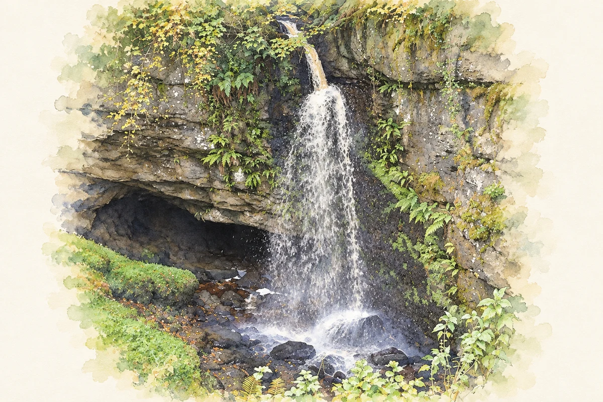
Pollnagollum’s waterfall entrance
Belmore Forest contains Pollnagollum Cave, whose entrance receives a waterfall dropping over a twelve-metre limestone cliff. The stream then travels underground before emerging beside the Aghanaglack River. The Geopark records the cave’s use as a filming location for Game of Thrones. This identifiable entrance adds a particular landmark to the broader network of passages beneath Boho’s limestone countryside. [2]
Faber’s return to Killydrum
The local parish account preserves a tradition that Faber learned from Saint Molaise at Devenish before returning to Killydrum on the Barrs of Boho. There she is said to have built a small wooden church or hut beside a well. Her image later appeared in stained glass at Boho and Monea. The account records the saint’s remembered landscape rather than independently dated evidence for the wooden building. [3]
A church and several schools
Samuel Lewis’s 1837 survey records a £200 Board of First Fruits gift towards Boho’s church, built in 1777. Education had several sources of support: the parochial school received the incumbent’s annual contribution and subscriptions, teaching about fifty boys and thirty girls. Four fee-paying schools taught approximately 150 boys and seventy girls, showing provision spread beyond the church-supported classroom. [4]
Geographic information
- Place type
- Civil parish
- County
- Fermanagh
- Barony
- Magheraboy
- Barony
- Clanawley
- Coordinates
- 54.34445, -7.80008 (approximate)
- Mapped area
- 60.91 km²
- Logainm ID
- 1410874 ↗
Sources & further reading
- Logainm.ie — Boho. Place names and geographic record, licensed under CC BY 4.0.
- Belmore Forest and Pollnagollum Cave · Cuilcagh Lakelands Geopark
- St Faber · Parish of Botha
- Bohoe parish: A Topographical Dictionary of Ireland (1837) · Samuel Lewis
- The waterfall at Pollnagollum Cave in Belmore Forest, County Fermanagh, as photographed in October 2021 illustration: based on a Waterfall, Pollnagollum Cave by N Chadwick. AI-assisted watercolour and ink adaptation; cream paper margins added, incidental clutter omitted and fine details simplified. Licence: CC BY-SA 2.0.
Name record retrieved 2026-10-25 · Source record modified 2011-08-23. How this page was prepared.