 placenames
Kilmichael
Cill Mhichíl
Kilmichael’s dispersed parish history includes early schooling and the local impact and later commemoration of the 1920 ambush.
The name
These Irish name elements are associated with this record in the Logainm glossary.
An element’s translation is a clue, rather than a complete explanation of the name. Its form and meaning depend on local history and the full Irish name.
Recorded forms
- Cill Mhichíl · Irish · main form · validated name
- Kilmichael · English · main form
Place & story
A parish spread across the countryside
Kilmichael's wider parish lies between the Lee Valley and Dunmanway. The diocesan account identifies Saint Michael's at Coolderrihy and Saint Enda's at Johnstown as churches of 1870, with Saint Finbarr's at Toames dated 1830. These separate centres help explain the area's dispersed community life: the name Kilmichael belongs to a wider landscape as well as the locality marked on maps. [2]
Dromleigh’s school history
Nearby Dromleigh National School opened in 1840 after Fr James O'Driscoll sought building funds in 1837. Its history describes an application supported by local Catholic and Protestant landowners. A separate girls' school followed in 1842, before boys and girls were taught together again in 1859. The school also records the impact of the 1920 ambush: attendance fell sharply, and fear of reprisals led to a temporary closure until 13 December. [3]
The ambush and its later memorial
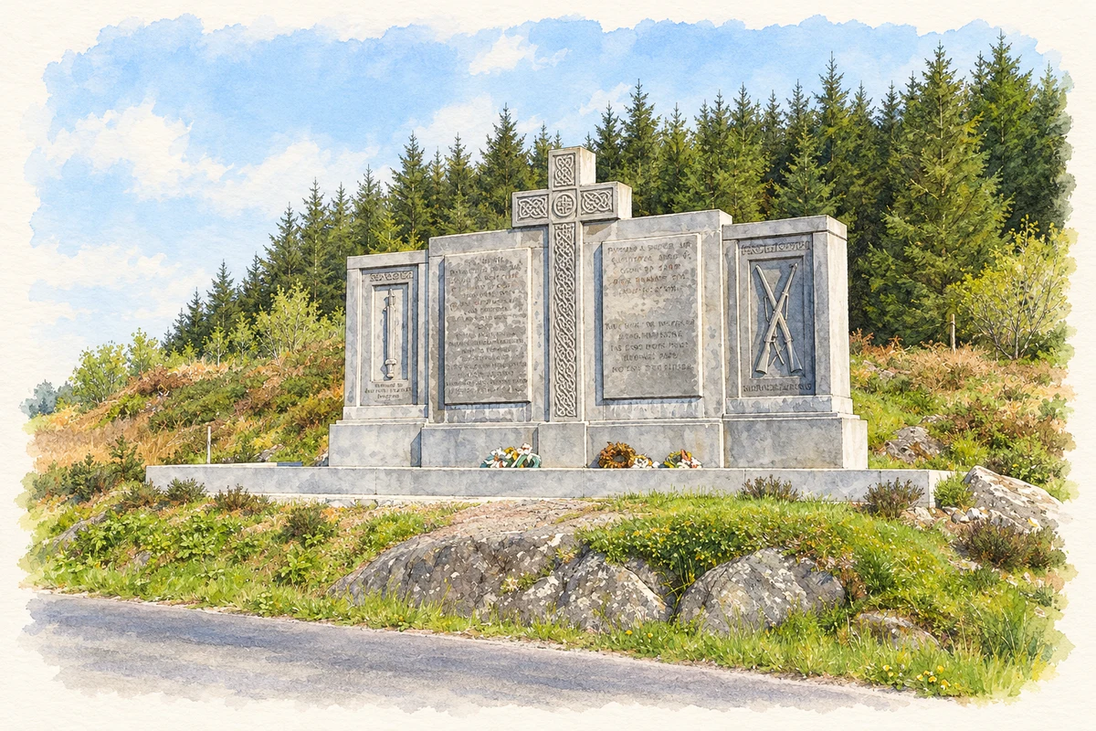
The Kilmichael ambush of 28 November 1920 saw an IRA column led by Tom Barry attack Auxiliaries during the War of Independence. A monument at the ambush site was unveiled on 10 July 1966. RTÉ's contemporary news record shows Barry leading surviving veterans in a guard of honour, with the unveiling performed by the local parish priest. The memorial belongs to the later public remembrance of the fighting, beyond the settlement itself. [4]
Geographic information
- Place type
- Population centre
- County
- Cork
- Barony
- Carbery East (W.D.)
- Barony
- Muskerry West
- Coordinates
- 51.83274, -9.04460 (approximate)
- Logainm ID
- 1411705 ↗
Sources & further reading
- Logainm.ie — Kilmichael. Place names and geographic record, licensed under CC BY 4.0.
- Kilmichael parish churches · Diocese of Cork and Ross
- School History · Dromleigh National School
- Kilmichael Ambush Memorial 1966 · RTÉ Archives
- Kilmichael ambush memorial, near Kilmichael illustration: based on a Monument at Kilmichael ambush site by Gordon Hatton. AI-assisted watercolour and ink adaptation; cream paper margins added, incidental clutter omitted and fine details simplified. Licence: CC BY-SA 2.0.
Name record retrieved 2026-10-25 · Source record modified 2025-01-10. How this page was prepared.