 placenames
Dolla
An Doladh
Dolla’s heritage reaches from a ruined church in Kilboy to the sporting life of the wider Silvermines parish.
The name
A reliable full-name meaning has not been established here. The recorded Irish and English forms are given without an unsupported translation.
Recorded forms
- An Doladh · Irish · main form · validated name
- Dolla · English · main form
Place & story
The parish beside the road
Samuel Lewis’s 1837 account describes Dolla as a parish south of Nenagh, at the end of the new Anglesey road from Tipperary. A small river crossed it, and its landscape included a substantial area of mountain bog. His population figure of 1,041 belongs to that parish, rather than to the village alone. He also noted the remains of the old church within Kilboy demesne and the extension of Kilmore’s poor relief fund into Dolla. [2]
Investigating the old church
Archaeologist Etienne Rynne carried out small investigatory excavations at Dolla’s ruined church in August and September 1987. His report places it in Kilboy townland, in a graveyard across an artificial lake from Kilboy House. The church was a long, narrow building aligned east–west, with a separately built rectangular annex at its south-eastern end. The work accompanied conservation and partial reconstruction commissioned by the landowner, Tony Ryan, under William Hayes’s direction. [3]
A gateway on the Silvermines road
The Kilboy entrance gateway on the Dolla–Silvermines road dates to about 1775. Its central carriage arch projects forward beneath a stone portico, with smaller arched pedestrian entrances on either side. Cut limestone details, scrolls and carefully dressed surrounds contrast with the rougher boundary walls. The architectural survey records the gateway as a work of skilled craftsmanship: a substantial surviving roadside feature of the estate. [4]
Dolla’s own team
Silvermines GAA’s club history recalls that Dolla fielded its own team in 1926, 1927 and 1928, winning the North Tipperary intermediate title during that period. Separate teams from different parts of the parish later gave way to one parish club. Silvermines identifies Dolla as its home ground, preserving the village’s sporting role within a club named for the neighbouring settlement. [5] [6]
Geographic information
- Place type
- Population centre
- County
- Tipperary
- Barony
- Ormond Upper
- Coordinates
- 52.79890, -8.19276 (approximate)
- Logainm ID
- 1411768 ↗
Sources & further reading
- Logainm.ie — Dolla. Place names and geographic record, licensed under CC BY 4.0.
- Dolla, A Topographical Dictionary of Ireland (1837) · Samuel Lewis
- Some Preliminary Notes on the Excavation of Dolla Church, Kilboy, Co. Tipperary, Tipperary Historical Journal 1988, pp.44–52 · Etienne Rynne
- Kilboy House entrance gateway, record 22402609 · National Inventory of Architectural Heritage
- Club History · Silvermines GAA
- About Silvermines · Silvermines GAA
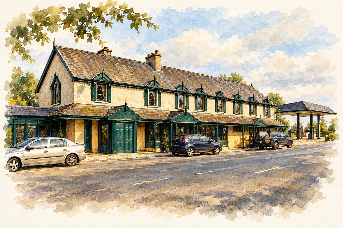
- The Eagles Nest public house, Dolla illustration: based on a Ryan-Lacken's The Eagles Nest (1), Dolla by P L Chadwick. AI-assisted watercolour and ink adaptation; cream paper margins added, incidental clutter omitted and fine details simplified. Licence: CC BY-SA 2.0; adapted illustration distributed under the same licence.
Name record retrieved 2026-10-25 · Source record modified 2011-06-27. How this page was prepared.