 placenames
Cross
An Chrois
A 1943 survey records a small settlement of thatched houses, while a later church and the school’s closure mark further changes in village life.
The name
These Irish name elements are associated with this record in the Logainm glossary.
An element’s translation is a clue, rather than a complete explanation of the name. Its form and meaning depend on local history and the full Irish name.
Recorded forms
- An Chrois · Irish · main form · validated name
- Cross · English · main form
Place & story
James Henchy’s 1943 survey
Surveyor James Henchy recorded Cross on 14 September 1943 for the Irish Tourist Association. He described a village of about 120 people with a church, national school, post office, two licensed premises and mostly single-storey thatched houses. Spring wells supplied water, with one public pump. There was no public lighting, and the Kilkee bus ran only on Saturdays. Postal business was limited to stamps and postal orders, without telephone or telegraph service. The report gives an unusually detailed snapshot of everyday facilities on the Loop Head peninsula. [2]
The replacement parish church
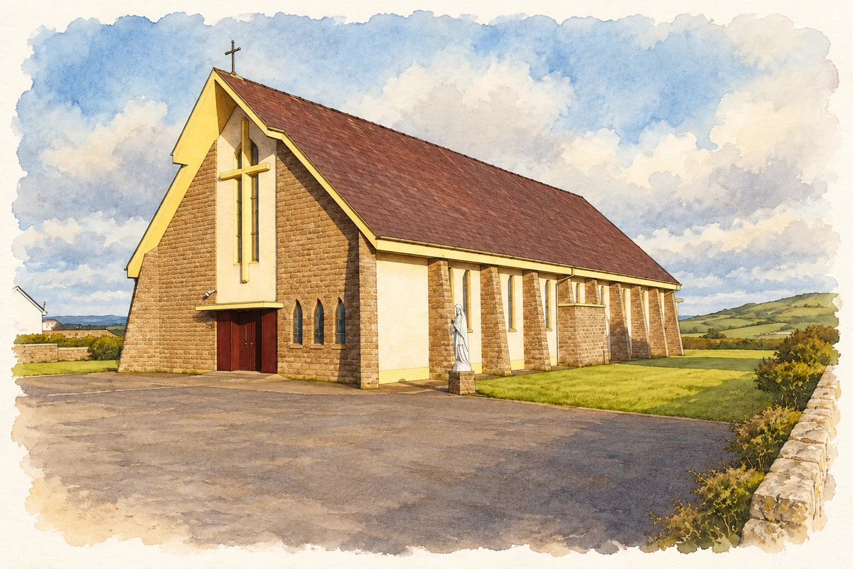
Cross’s earlier church was built in 1806 under Fr O’Gorman and renovated twice during the nineteenth century. It was demolished in 1958. John Thompson of Limerick designed the replacement Church of Our Lady of Lourdes, with Michael Halpin of Querrin as contractor. Bishop Rodgers blessed the new building in August 1959, with the newly elected President Éamon de Valera attending. This sequence distinguishes the present church from the small Gothic building recorded by Henchy sixteen years earlier. [3] [2]
A change in local education
The school named in the 1943 survey remained an important village institution for subsequent generations, but declining enrolment eventually brought its operation to an end. In January 2020 the Diocese of Killaloe confirmed the closure of Cross National School following consultation with the Department of Education. Clare FM reported that no pupils had attended since the previous November. The closure formed part of a wider change in small-school provision on Loop Head, following Querrin’s closure in 2019. [4]
Geographic information
- Place type
- Population centre
- County
- Clare
- Barony
- Moyarta
- Civil parish
- Kilballyowen
- Within
- Cross
- Coordinates
- 52.60607, -9.77155 (approximate)
- Logainm ID
- 1412548 ↗
Sources & further reading
- Logainm.ie — Cross. Place names and geographic record, licensed under CC BY 4.0.
- Cross, Irish Tourist Association Survey,14September1943 · James Henchy; Clare Libraries Local Studies
- Cross, Catholic Church of Our Lady of Lourdes · John Glynn, Clare County Heritage Office
- West Clare National School Closes Down,15January2020 · Clare FM
- Our Lady of Lourdes Church, Cross, County Clare illustration: based on a Our Lady of Lourdes Church, Cross, Co. Clare by P L Chadwick. AI-assisted watercolour and ink adaptation; cream paper margins added, incidental clutter omitted and fine details simplified. Licence: CC BY-SA 2.0.
Name record retrieved 2026-10-25 · Source record modified 2025-01-10. How this page was prepared.