 placenames
Flagmount
Leacain an Éadain
Flagmount's burial ground preserves traces of several kinds of interment beside Lough Graney. Library records also document the village school's anniversary celebrations.
The name
These Irish name elements are associated with this record in the Logainm glossary.
An element’s translation is a clue, rather than a complete explanation of the name. Its form and meaning depend on local history and the full Irish name.
Recorded forms
- Leacain an Éadain · Irish · main form · validated name
- Flagmount · English · main form
Place & story
The burial ground on the old map
Michael and Sarah Houlihan's survey for Clare Heritage records Flagmount's cillín as a burial ground marked for children on the 1842 Ordnance Survey map. The site stands beside the Norberry Line road on the eastern side of Lough Graney, with traces of a green approach road. The survey notes a nearby ecclesiastical enclosure and suggests that the ground may previously have served a broader burial function. That earlier use remains an interpretation of the surviving setting. [2]
Graves and surviving markers
The same field survey describes a burial area slightly larger than a quarter-acre, containing numerous individual children's graves alongside other interments. The authors record unmarked graves and an uninscribed, roughly cut slab near the boundary ditch. Their account also notes evidence for a mother and infant buried there. These observations show that the cemetery's surviving graves cannot all be reduced to a single type of burial or commemorative marker. [2]
The school’s 1999 anniversary
Clare Libraries' record of Flagmount National School cites a May 1999 Clare Champion feature and describes plans for the school's twenty-fifth anniversary. A special Mass, sports day and painted wall mural were to mark the occasion. The account also records Irish dancing and swimming among extracurricular activities, alongside participation in school hurling, camogie and competitions. As an anniversary record, it captures the school as a meeting point for educational, sporting and community activity. [3]
Geographic information
- Place type
- Population centre
- County
- Clare
- Barony
- Tulla Upper
- Civil parish
- Feakle
- Within
- Flagmount
- Coordinates
- 52.98606, -8.64034 (approximate)
- Logainm ID
- 1412552 ↗
Sources & further reading
- Logainm.ie — Flagmount. Place names and geographic record, licensed under CC BY 4.0.
- Cillín at Flagmount, Caher: Clare Cillín Survey · Michael Houlihan and Sarah Houlihan, Clare Heritage
- Flagmount National School:1999anniversary record · Clare Libraries Local Studies, citing Clare Champion21May1999
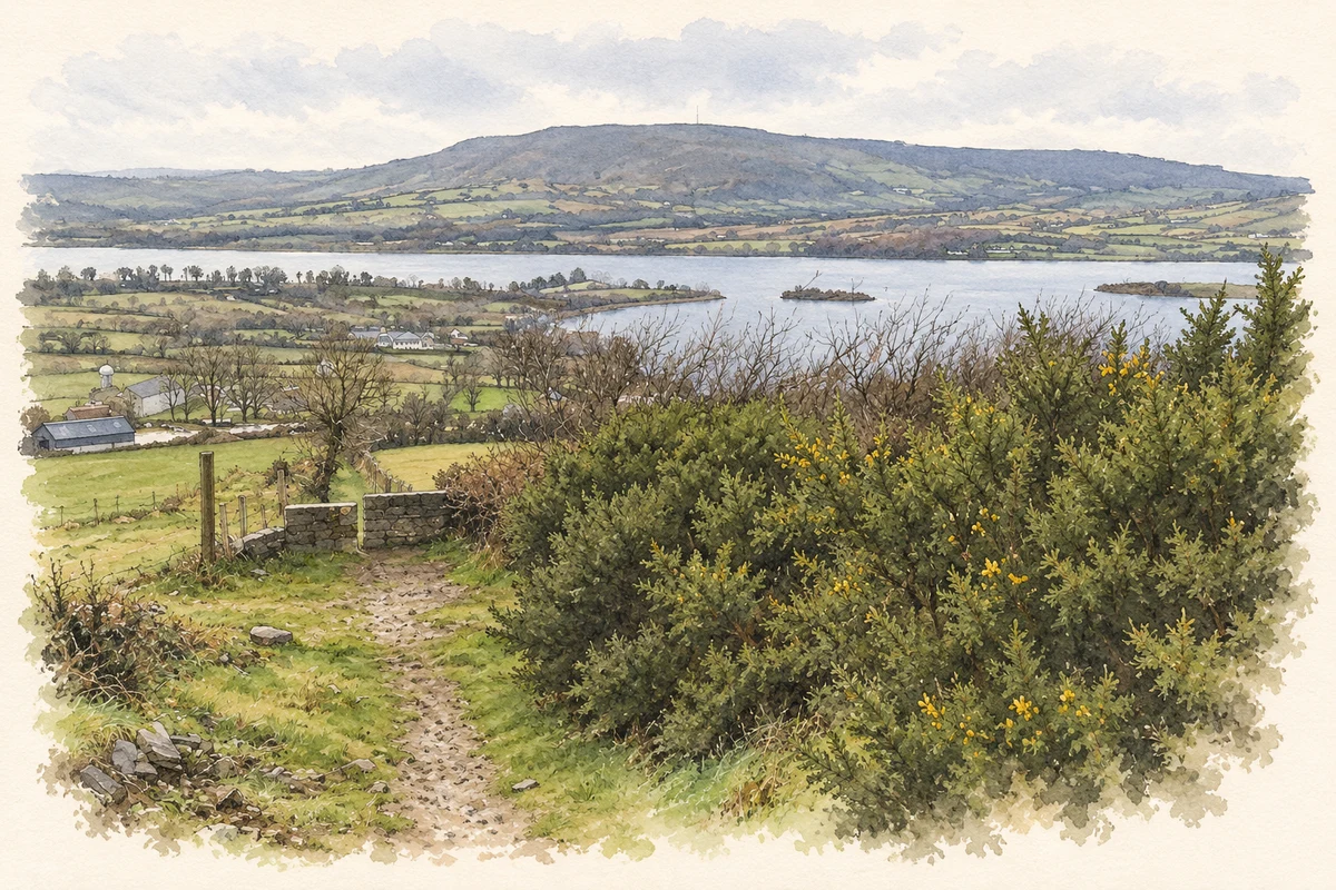
- Lough Graney from the East Clare Way near Flagmount, as photographed in 2020 illustration: based on a East Clare Way, view of Lough Graney by Colm Linnane. AI-assisted watercolour and ink adaptation; cream paper margins added, incidental clutter omitted and fine details simplified. Licence: CC BY-SA 2.0.
Name record retrieved 2026-10-25 · Source record modified 2025-01-10. How this page was prepared.