 placenames
Keel
An Caol
Keel’s built heritage and visitor collections preserve different connections with twentieth-century Achill life.
The name
These Irish name elements are associated with this record in the Logainm glossary.
An element’s translation is a clue, rather than a complete explanation of the name. Its form and meaning depend on local history and the full Irish name.
Recorded forms
- An Caol · Irish · main form · validated name
- Keel · English · main form
Place & story
The Sacred Heart convent
The former Sacred Heart convent at Keel East was built in 1931–32 for the Presentation Sisters and opened in 1932. Its two-storey H-shaped plan has projecting gabled wings and a central entrance porch, with cross finials marking the roofline. The architectural survey attributes the design to Ralph Henry Byrne, while retaining some caution about that identification. The sisters vacated the building in 1988, after which it was adapted for another use. [2]
Robert Henri’s Achill portraits
American painter Robert Henri visited Achill in 1913, staying at Corrymore near Keel and Dooagh. He painted local people, particularly children, during that visit. His portrait Catharine, now in the National Gallery of Art in Washington, belongs to this period. The gallery records Henri’s identification of the sitter as a fisherman’s daughter related to Brien O’Malley, another of his subjects. The paintings connect people from this coastal district with collections far beyond Achill. [3]
Interpreting island life at Crumpaun
The Achill Experience at Crumpaun, Keel, brings together an aquarium and displays about the island’s past. Its collection includes prints of Henri’s portraits of children from Pollagh and Dooagh. The marine displays encompass species from Achill waters and from other parts of the world. This combination places the surrounding sea alongside local historical memory, while allowing reproductions of portraits dispersed across collections to be encountered again near the communities depicted. [4]
Geographic information
- Place type
- Population centre
- County
- Mayo
- Barony
- Burrishoole
- Civil parish
- Achill
- Within
- Keel East
- Coordinates
- 53.97632, -10.07310 (approximate)
- Logainm ID
- 1412694 ↗
Sources & further reading
- Logainm.ie — Keel. Place names and geographic record, licensed under CC BY 4.0.
- Convent of the Sacred Heart, register 31305401 · National Inventory of Architectural Heritage
- Catharine, Robert Henri, 1913 · National Gallery of Art, Washington
- About Achill Experience · Achill Experience
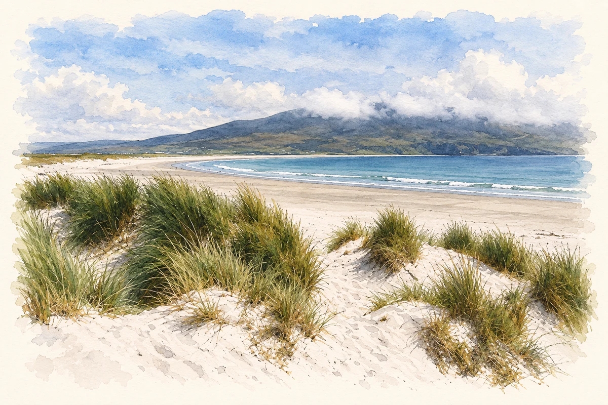
- Sand dunes and strand at Keel, Achill Island illustration: based on a Sand dunes and strand at Keel (13 July 2011) by John M. AI-assisted watercolour and ink adaptation; cream paper margins added, incidental clutter omitted and fine details simplified. Licence: CC BY-SA 2.0.
Name record retrieved 2026-10-25 · Source record modified 2025-01-10. How this page was prepared.