 placenames
Ballyfad
An Baile Fada
Ballyfad’s church and burial ground connect local religious life with the poet James Liddy, while nearby woods retain evidence of estate ownership and later public forestry.
The name
These Irish name elements are associated with this record in the Logainm glossary.
An element’s translation is a clue, rather than a complete explanation of the name. Its form and meaning depend on local history and the full Irish name.
Recorded forms
- An Baile Fada · Irish · main form · validated name
- Ballyfad · English · main form
- Ballyfadd · English · main form · local name
Place & story
A nineteenth-century church enlarged
The Church of Our Lady of the Nativity was already standing in 1837. The architectural inventory records a single-cell church with a projecting porch and dates the changes that produced its present composition to 1899. North Wexford Historical Society describes the removal of an earlier gallery and the addition of a belfry and porch during that campaign. The sanctuary was reordered in 1966, adding another phase to the building's history. [2] [3]
James Liddy’s burial place
The poet James Liddy is buried at Ballyfad. His father served as dispensary doctor at nearby Coolgreany, an association recalled in Liddy's A Doctor's House. The historical society also points to his collection Blue Mountain, whose title poem concerns Croghan. His burial here gives a precise local connection to a writer whose work repeatedly returned to north Wexford's landscape and culture. [3]
From the Brooke estate to public woodland
Ballyfad Wood appears on the Ordnance Survey map of 1835. The local walking-trails organisation records its purchase by the government from the Brooke estate in 1904 for more than £3,000. Its present routes include an Old Mass Path trail and a Bluebell trail, where a stream and washing stone recall earlier domestic uses of the landscape. The woodland's history thus includes estate property, public acquisition and community recreation. [4]
Geographic information
Sources & further reading
- Logainm.ie — Ballyfad. Place names and geographic record, licensed under CC BY 4.0.
- Our Lady of the Nativity,registration15700304 · National Inventory of Architectural Heritage
- Ballyfad New: church history and James Liddy · North Wexford Historical Society
- Ballyfad Wood Trails: historical notes · Wexford Walking Trails
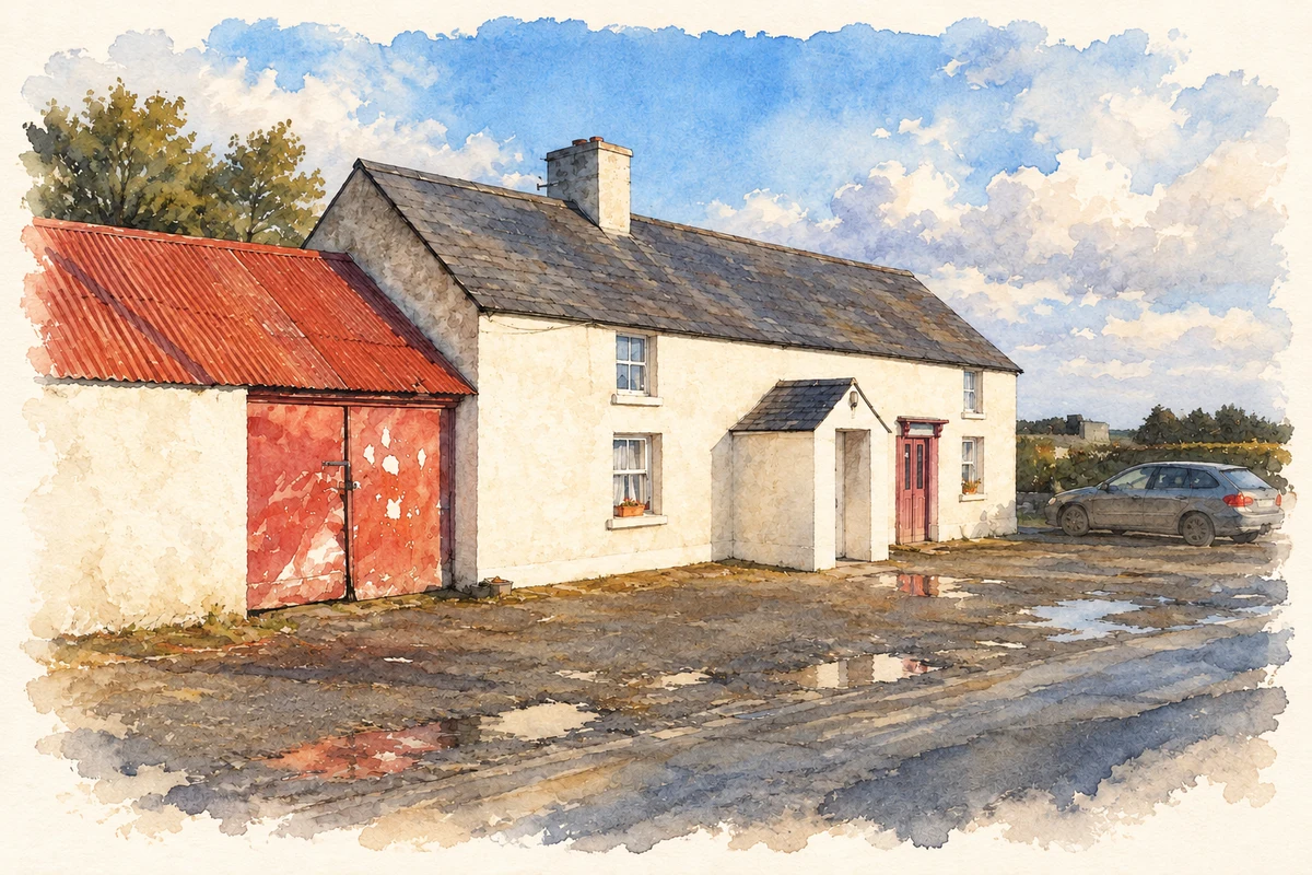
- Ballyfad post office illustration: based on a Ballyfad post office by Jonathan Billinger. AI-assisted watercolour and ink adaptation; cream paper margins added, incidental clutter omitted and fine details simplified. Licence: CC BY-SA 2.0.
Name record retrieved 2026-10-25 · Source record modified 2025-01-10. How this page was prepared.