These Irish name elements are associated with this record in the Logainm glossary.
An element’s translation is a clue, rather than a complete explanation of the name. Its form and meaning depend on local history and the full Irish name.
Recorded forms
Dún Chormaic· Irish · main form · validated name
Duncormick· English · main form
Place & story
A possible moated enclosure
Archaeological testing in 2002 found medieval remains on a development site in Duncormick. Áine Richardson recorded a wall foundation, pits and parallel ditches with material between them interpreted as a former bank. Medieval pottery, chiefly Leinster cooking ware, came from the ditches. She suggested that the remains might belong to a moated site. Other features related to a later road and Duncormick Lodge. The excavation therefore distinguished several phases of activity rather than assigning every feature to the medieval settlement.[2]
The walk to Saint Clomaun’s Well
Saint Clomaun’s Way follows a gravel path from Duncormick Bridge to the holy well, a return walk of about a kilometre. Jim Hurley’s trail leaflet records that a local committee uncovered the overgrown well in 1954 and found a stone inscribed RC 1696. The well stands at the foot of a steep slope, in a position vulnerable to tidal flooding when high river flows or sea surges occur. Its setting connects a locally restored heritage feature with the changing waters of the river valley.[3]
The two-oven lime kiln
A stone lime kiln in Duncormick preserves another part of the village’s working landscape. The architectural inventory records a rectangular structure with two segmental-arched ovens, their openings framed by dressed limestone. Its walls slope slightly inward, and the upper coping was overgrown when surveyed. The kiln appears on mapping by 1902. Though disused, it retains the form of a small industrial building that once served the surrounding agricultural district.[4]
Both counts use the 2016 settlement boundary, allowing like-for-like comparison. CSO supplies the 2022 count on this older boundary for comparison only. The official 2022 Built Up Area has different boundaries.
View population figures
Duncormick — Census 2016 settlement footprint — census population
These figures use different area definitions. Read the boundary note before comparing them.
Duncormick, Wexford
Published census settlement populations
116people · 2016
Settlement boundaries changed during this period. Differences may reflect boundary changes as well as population change. Where a 2011 legal-town-and-environs count is shown, it has not been recalculated onto the 2016 settlement boundary.
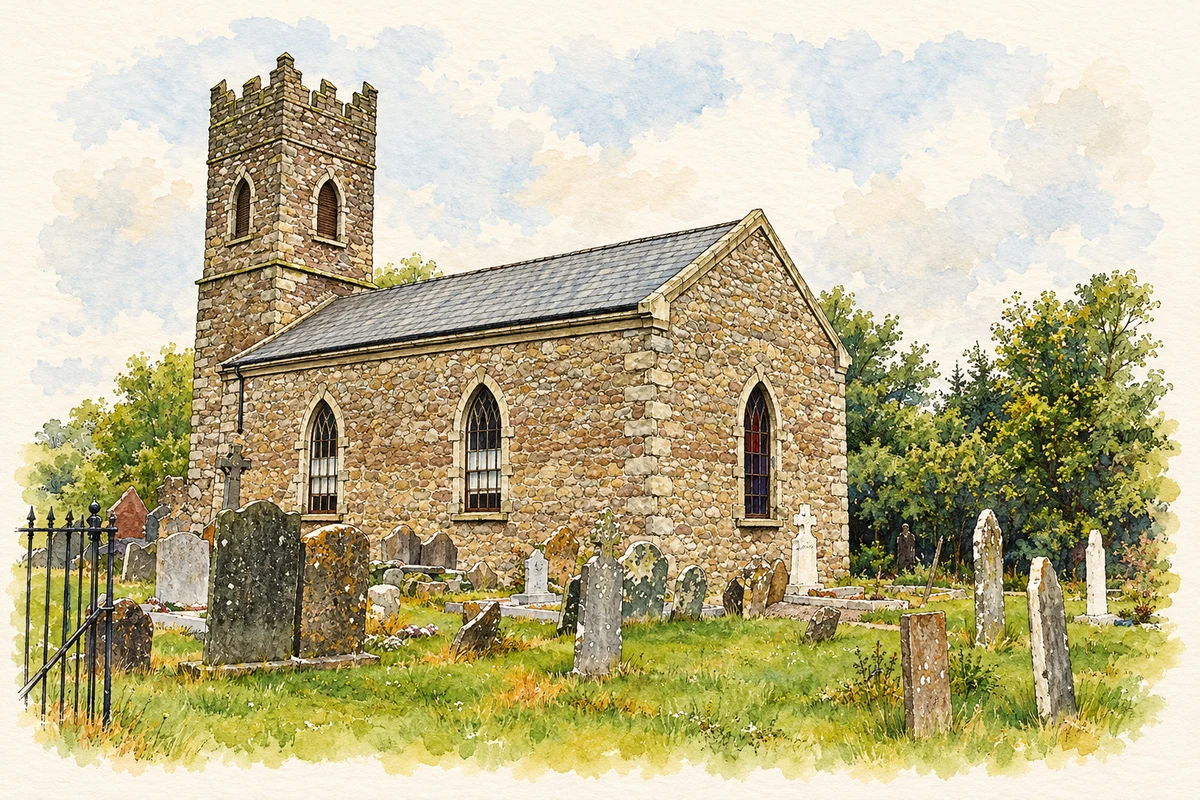
Duncormick Church of Ireland church illustration: based on a The Church in Duncormick by Pam Brophy. AI-assisted watercolour and ink adaptation; cream paper margins added, incidental clutter omitted and fine details simplified. Licence: CC BY-SA 2.0.
 placenames