These Irish name elements are associated with this record in the Logainm glossary.
An element’s translation is a clue, rather than a complete explanation of the name. Its form and meaning depend on local history and the full Irish name.
Recorded forms
Dún na nGall· Irish · main form · validated name
Donegal· English · main form
Place & story
A town at the water’s edge
Lewis’s 1837 account places Donegal at the mouth of the river he spells Esk, with three streets and a triangular market place. It also distinguishes the harbour anchorage below the town from the town itself. These details locate the settlement within a working estuary landscape. They help explain how a relatively small market town could maintain maritime connections without every vessel reaching the streets or quays closest to its centre.[2]
Castle and religious patronage
The directory’s history centres on the O’Donnells and the Franciscan foundation associated with Hugh Roe and Fionnghuala in 1474. It describes the convent becoming a contested military position during the conflicts around 1600. A religious building could therefore have quite different roles over time: worship, patronage, scholarship and occupation by troops. The entry’s account of the Four Masters belongs to that wider connection between the town and the recording of regional history.[2]
People & connections
Two building patrons at the castle
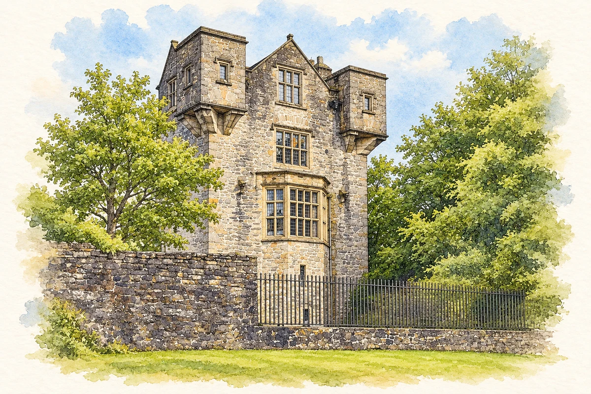
The county council’s conservation study credits the original castle to Hugh Roe O’Donnell, who died in 1505, an earlier chief than the Red Hugh O’Donnell of the Nine Years War. The building was burned and damaged during sixteenth-century conflict, then passed into English Crown possession.[3]
Basil Brooke received the castle in 1611 and adapted it into a Jacobean residence. His carved arms survive above the fireplace, and a gabled wing extended the older tower house. The complex decayed during the eighteenth century and entered Office of Public Works guardianship in 1898.[3]
Both counts use the 2016 settlement boundary, allowing like-for-like comparison. CSO supplies the 2022 count on this older boundary for comparison only. The official 2022 Built Up Area has different boundaries.
View population figures
Donegal — Census 2016 settlement footprint — census population
These figures use different area definitions. Read the boundary note before comparing them.
Donegal, Donegal
Published census settlement populations
2,618people · 2016
Settlement boundaries changed during this period. Differences may reflect boundary changes as well as population change. Where a 2011 legal-town-and-environs count is shown, it has not been recalculated onto the 2016 settlement boundary.
Donegal Castle restored tower illustration: based on a reference by Gillfoto. AI-assisted watercolour and ink adaptation; warm cream paper margins; incidental modern clutter removed and fine details simplified. Licence: CC BY-SA 4.0.
 placenames