 placenames
Aille
An Aill
Aille’s limestone cave carries a river beneath the landscape towards Bellaburke, where successive generations of cave divers investigated its deep resurgence.
The name
These Irish name elements are associated with this record in the Logainm glossary.
An element’s translation is a clue, rather than a complete explanation of the name. Its form and meaning depend on local history and the full Irish name.
Recorded forms
- An Aill · Irish · main form · validated name
- Aille · English · main form
- Ayle · English · main form · local name
Place & story
The disappearing river
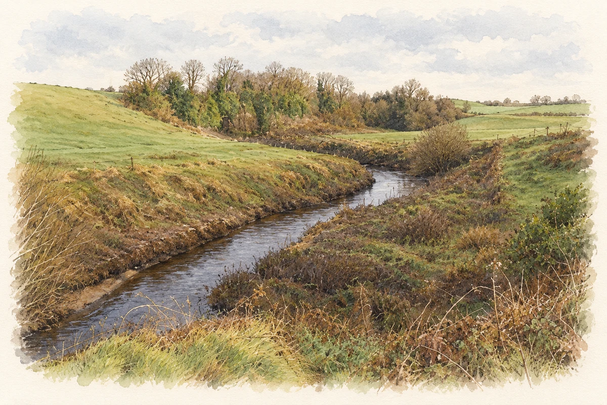
Near Aille the river sinks beneath a limestone cliff into a network of water-filled passages. It reappears roughly three kilometres to the east-north-east at Bellaburke. The Geological Survey identifies the bedrock as Carboniferous limestone and describes a maze-like system capable of flooding completely after rain. The main rising is generally called Pollatoomary by cave divers, although older mapping places that name at a separate flood overflow nearby. The sink and resurgence reveal different ends of a mostly hidden drainage system. [2]
Early diving investigations
Artur Kozlowski’s published account traces diving at the Bellaburke resurgence to 1969, when members of the Craven Potholing Club investigated its depth. In 1978 Martyn Farr, Dave Morris and Peter Rust explored a vertical shaft to a blockage of boulders. Farr later passed this obstacle but turned back after limited progress. Kozlowski’s account records no further exploration there until 2008, leaving a thirty-year interval between the earlier work and his own return to the system. [3]
Kozlowski’s 2008 exploration
In 2008 Kozlowski extended the explored depth in stages, first passing fifty metres and then reaching eighty-six. Working with fellow diver Tom Malone in July, he continued to 103 metres and found that the passage still descended. His first-person article, originally published in Irish Speleology in 2009, documents the preparation and changing conditions behind the achievement. The dive established a new British and Irish underwater cave-depth record at the time, bringing the Aille–Pollatoomary system wider attention. [3]
Geographic information
- Place type
- Population centre
- County
- Mayo
- Barony
- Burrishoole
- Civil parish
- Aghagower
- Coordinates
- 53.78840, -9.39607 (approximate)
- Logainm ID
- 1414228 ↗
Sources & further reading
- Logainm.ie — Aille. Place names and geographic record, licensed under CC BY 4.0.
- Aille River Cave – Pollatoomary: Mayo Geological Site Report MO003 · Ronan Hennessy and colleagues, Geological Survey Ireland
- Dark Rising: The deepest on the Isles, Irish Speleology18 (2009), author’s republication11May2010 · Artur Kozlowski
- Aille River approaching Aille Cave illustration: based on a MO003 Aille River Cave – Pollatoomary, page 3 top-left Aille River photograph by Geological Survey Ireland; Hennessy et al., 2014 (revised 2019). AI-assisted watercolour and fine ink adaptation; cream paper margins added and fine details simplified. Contains Irish Public Sector Data (Geological Survey Ireland) licensed under a Creative Commons Attribution 4.0 International (CC BY 4.0) licence. Licence: CC BY 4.0.
Name record retrieved 2026-10-25 · Source record modified 2025-01-10. How this page was prepared.