 placenames
Ballingarry
Baile an Gharraí
This north Tipperary village preserves a distinctive group of nineteenth-century buildings and an unusual adaptation of an older castle enclosure.
The name
These Irish name elements are associated with this record in the Logainm glossary.
An element’s translation is a clue, rather than a complete explanation of the name. Its form and meaning depend on local history and the full Irish name.
Recorded forms
- Baile an Gharraí · Irish · main form · validated name
- Ballingarry · English · main form
Place & story
Stone houses at the crossroads
At the centre of Ballingarry, two adjoining stone houses mark the road junction. The National Inventory dates one of the pair to about 1800 and records roughly coursed limestone walls, dressed stone above the openings and a slate roof. Its timber sash windows include a distinctive three-part arrangement, while a boarded entrance door retains an overlight. The survey describes a building that had undergone relatively little alteration, making these modest domestic details a significant part of the village’s architectural record. [2]
The church and its predecessor
Ballingarry’s Church of Ireland church was built in 1856, replacing an earlier church whose remains lie to its east. The Gloine survey identifies Joseph Welland as the architect and dates his work to 1853–56. An octagonal stone spire rises above its tower, while the nave and chancel are lit by lancet windows. A rose window at the western end and stained glass in the three eastern lancets distinguish the two ends of the building. The surrounding graveyard retains the older ecclesiastical setting. [3] [4]
Bee boles inside the bawn
An unusual survival at Ballingarry Castle records the reuse of a defensive enclosure for domestic production. Eighteen bee boles, arranged in three tiers, were built against the inside of the medieval bawn wall around 1820. Squared limestone, brick arches and stone courses separate and frame the niches. The National Inventory suggests that the enclosure became a walled garden for Ballingarry House across the road, with the bee boles probably belonging to the same phase of development. [5]
Geographic information
- Place type
- Population centre
- County
- Tipperary
- Barony
- Ormond Lower
- Civil parish
- Ballingarry
- Within
- Ballingarry
- Coordinates
- 53.01474, -8.02980 (approximate)
- Logainm ID
- 1414486 ↗
Sources & further reading
- Logainm.ie — Ballingarry. Place names and geographic record, licensed under CC BY 4.0.
- Ballingarry house, 22400808 · National Inventory of Architectural Heritage
- Ballingarry Church, 22400810 · National Inventory of Architectural Heritage
- Ballingarry, ref230060 · Gloine, Church of Ireland stained-glass survey
- Ballingarry Castle bee boles, 22400812 · National Inventory of Architectural Heritage
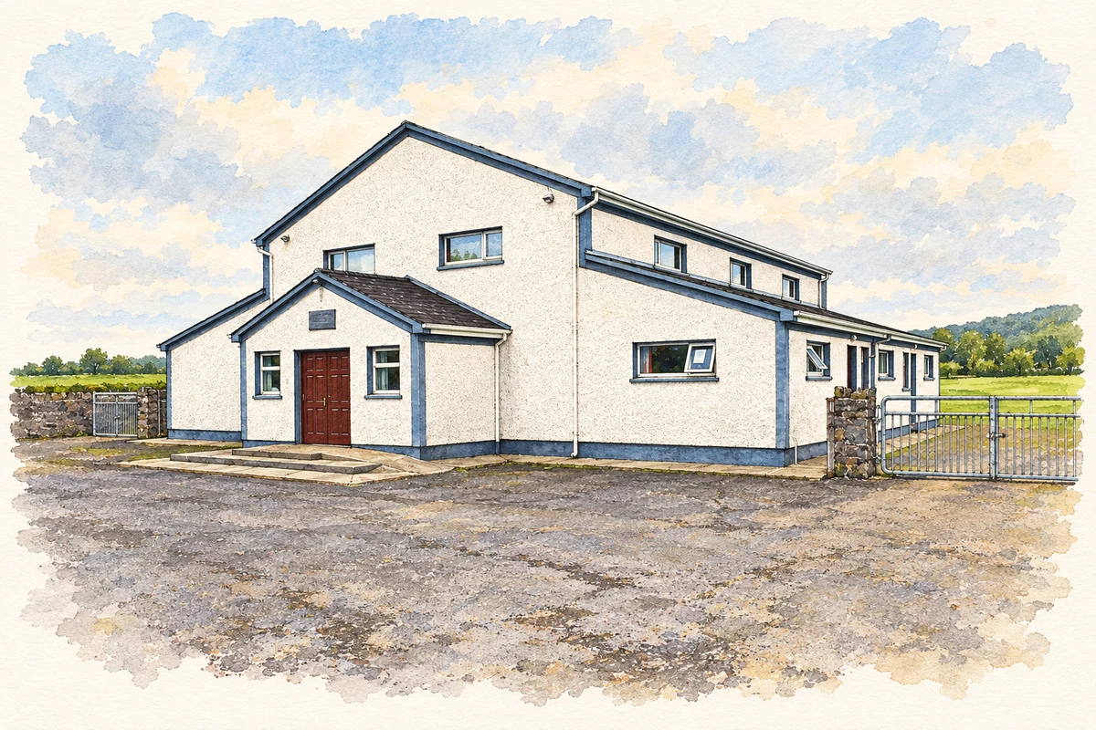
- Ballingarry-Knockshegowna Community Centre, north County Tipperary illustration: based on a Ballingarry - Knockshegowna Community Centre, Ballingarry, Co. Tipperary by P L Chadwick. AI-assisted watercolour and ink adaptation; cream paper margins added, incidental clutter omitted and fine details simplified. Licence: CC BY-SA 2.0.

Name record retrieved 2026-10-25 · Source record modified 2025-01-10. How this page was prepared.